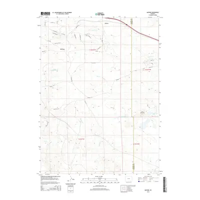
2015 Map of Buford
USGS Topo · Published 2015About this map
Buford and Sherman anchor this high-plains landscape along the border of Laramie and Albany Counties. The terrain is defined by the prominent Twin Mountains and a complex network of seasonal drainages, including Lone Tree Cr and Deadman Cr. Local water management is visible through the presence of Williams Number 1 Reservoir and Twin Mountains Lake, supporting ranching and local operations in this dry region.
Find a feature on this map
35 named features on this map. Tap any name to fly to it.
Don’t see what you’re looking for? This feature index may not catch every label — zoom into the map to look around manually.
Map Details
Editions of this 2015 Buford Map
This is the sole edition of this map. No revisions or reprints were ever made.
Other maps of this area

1905 · Sherman
USGS Topo · 1:125,000

1907 · Livermore
USGS Topo · 1:125,000

1909 · Livermore
USGS Topo · 1:125,000

1948 · Sherman Mountains
USGS Topo · 1:62,500

1950 · Sherman Mountains
USGS Topo · 1:62,500

1954 · Cheyenne
USGS Topo · 1:250,000

1954 · Greeley
USGS Topo · 1:250,000

1957 · Greeley
USGS Topo · 1:250,000

1958 · Cheyenne
USGS Topo · 1:250,000

1958 · Greeley
USGS Topo · 1:250,000