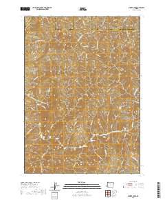
2020 Map of Bunker Creek
USGS Topo · Published 2020About this map
The Rogue River carves a dramatic path through this remote portion of Douglas and Josephine counties, defining a landscape of steep canyons and technical water. The river's character is revealed through a dense series of named whitewater features, including the Russian Rapids, Tyee Rapids, and the narrow Howard Creek Chute. These named hazards, alongside landmarks like the sharp Horseshoe Bend and the Black Bar lodge site, illustrate the waterway's role as the primary artery of the region.
Find a feature on this map
57 named features on this map. Tap any name to fly to it.
Don’t see what you’re looking for? This feature index may not catch every label — zoom into the map to look around manually.
Map Details
Editions of this 2020 Bunker Creek Map
This is the sole edition of this map. No revisions or reprints were ever made.
Other maps of this area

1946 · Galice
USGS Topo · 1:62,500

1946 · Dutchman Butte
USGS Topo · 1:62,500

1948 · Galice
USGS Topo · 1:62,500

1948 · Dutchman Butte
USGS Topo · 1:62,500

1954 · Bone Mountain
USGS Topo · 1:62,500

1954 · Marial
USGS Topo · 1:62,500

1955 · Medford
USGS Topo · 1:250,000

1957 · Medford
USGS Topo · 1:250,000

1958 · Medford
USGS Topo · 1:250,000
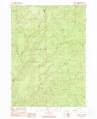
1989 · Hobson Horn
USGS Topo · 1:24,000