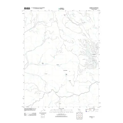
2012 Map of Burbeck
USGS Topo · Published 2012About this map
The Noyo River carves through this portion of Mendocino County, providing a central axis for small settlements and historical industrial sites. The settlement of Shake City and the neighboring station at Burbeck are situated along the river's path, marking the corridor's long connection to regional transit and timber. Evidence of former milling operations is preserved at Clare Mill, located downstream from Soda Springs.
Find a feature on this map
97 named features on this map. Tap any name to fly to it.
Don’t see what you’re looking for? This feature index may not catch every label — zoom into the map to look around manually.
Map Details
Editions of this 2012 Burbeck Map
This is the sole edition of this map. No revisions or reprints were ever made.
Other maps of this area

1920 · Glenblair
USGS Topo · 1:62,500

1921 · Branscomb
USGS Topo · 1:62,500

1922 · Willits
USGS Topo · 1:62,500

1942 · Willits
USGS Topo · 1:62,500

1943 · Glenblair
USGS Topo · 1:62,500

1944 · Willits
USGS Topo · 1:62,500

1951 · Branscomb
USGS Topo · 1:62,500

1951 · Laytonville
USGS Topo · 1:62,500

1957 · Ukiah
USGS Topo · 1:250,000

1960 · Ukiah
USGS Topo · 1:250,000