
1951 Map of Laytonville
USGS Topo · Published 1953About this map
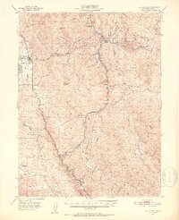
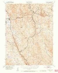
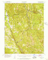
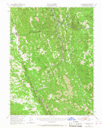
Laytonville Rancheria and Sherwood Rancheria are prominent features in this portion of Mendocino County, where the Redwood Highway facilitates travel through the complex drainage basins of the northern Coast Ranges. The map illustrates a landscape defined by the confluence of major waterways, including the Eel River, Middle Fork Eel River, and Outlet Creek. Transportation infrastructure is concentrated in the western corridor near Laytonville and along the canyon of the Northwestern Pacific RR, which follows the winding course of the river through remote stations like Dos Rios and Tatu.
Find a feature on this map
65 named features on this map. Tap any name to fly to it.
Don’t see what you’re looking for? This feature index may not catch every label — zoom into the map to look around manually.
Map Details
Editions of this 1951 Laytonville Map
5 editions found
Other maps of this area

1920 · Glenblair
USGS Topo · 1:62,500

1920 · Cummings
USGS Topo · 1:62,500

1920 · Covelo
USGS Topo · 1:62,500

1921 · Branscomb
USGS Topo · 1:62,500

1922 · Willits
USGS Topo · 1:62,500

1926 · Covelo
USGS Topo · 1:62,500

1929 · Eden Valley
USGS Topo · 1:62,500

1942 · Willits
USGS Topo · 1:62,500

1943 · Glenblair
USGS Topo · 1:62,500

1943 · Pomo
USGS Topo · 1:62,500