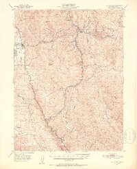
1951 Map of Laytonville
USGS Topo · Published 1953About this map
Laytonville Rancheria and Sherwood Rancheria are significant cultural and residential anchors in this Mendocino County landscape, which transitions from the valley settlements along the Redwood Highway to the steep ridges of the Coast Range. The Northwestern Pacific railroad follows the winding course of the Eel River and its tributaries, passing through remote stations such as Dos Rios and Tatu, where a water tank once stood. This mid-century survey illustrates the vital connection between water and infrastructure, showing gaging stations and tunnels that supported the regional economy.
Find a feature on this map
62 named features on this map. Tap any name to fly to it.
Don’t see what you’re looking for? This feature index may not catch every label — zoom into the map to look around manually.
Map Details
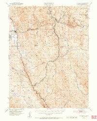
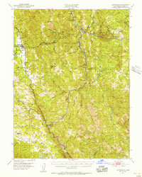
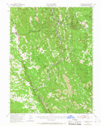
Editions of this 1951 Laytonville Map
5 editions found

Other maps of this area

1920 · Glenblair
USGS Topo · 1:62,500

1920 · Cummings
USGS Topo · 1:62,500

1920 · Covelo
USGS Topo · 1:62,500

1921 · Branscomb
USGS Topo · 1:62,500

1922 · Willits
USGS Topo · 1:62,500

1926 · Covelo
USGS Topo · 1:62,500

1929 · Eden Valley
USGS Topo · 1:62,500

1942 · Willits
USGS Topo · 1:62,500

1943 · Glenblair
USGS Topo · 1:62,500

1943 · Pomo
USGS Topo · 1:62,500