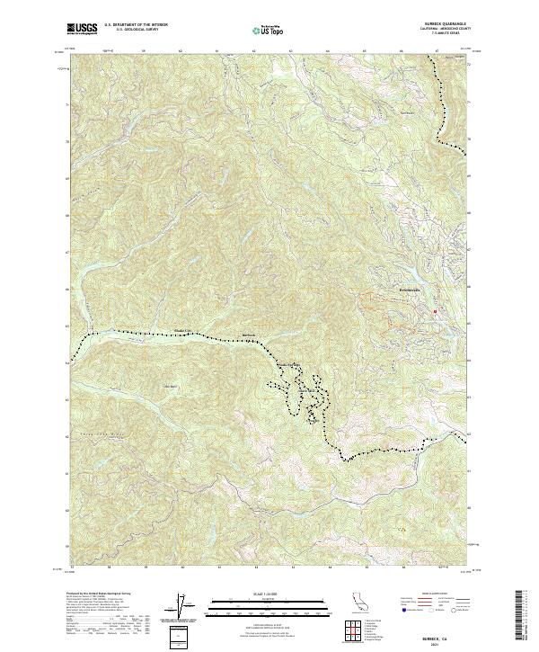
2021 Map of Burbeck
USGS Topo · Published 2021About this map
The Noyo River flows through a landscape defined by timber history and mountainous ridges in this Mendocino County interior. Settlements like Shake City and Burbeck are situated along the river valley and canyon floor, while the more developed residential area of Brooktrails is clustered around Lake Emily and Lake Ada Rose to the east. The terrain is notably marked by Three Chop Ridge in the southwest and Twin Rocks to the north, suggesting the varied topography that influenced early transportation and logging routes.
Find a feature on this map
110 named features on this map. Tap any name to fly to it.
Don’t see what you’re looking for? This feature index may not catch every label — zoom into the map to look around manually.
Map Details
Editions of this 2021 Burbeck Map
This is the sole edition of this map. No revisions or reprints were ever made.
Other maps of this area

1920 · Glenblair
USGS Topo · 1:62,500

1921 · Branscomb
USGS Topo · 1:62,500

1922 · Willits
USGS Topo · 1:62,500

1942 · Willits
USGS Topo · 1:62,500

1943 · Glenblair
USGS Topo · 1:62,500

1944 · Willits
USGS Topo · 1:62,500

1951 · Branscomb
USGS Topo · 1:62,500

1951 · Laytonville
USGS Topo · 1:62,500

1957 · Ukiah
USGS Topo · 1:250,000

1960 · Ukiah
USGS Topo · 1:250,000