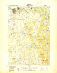
1919 Map of Burlington
USGS Topo · Published 1919About this map
The University of Vermont anchors the city of Burlington in this 1919 Corps of Engineers military update, showing the urban landscape before mid-century expansion. The map detail highlights the early 20th-century transportation network, from the Steamboat Route crossing Lake Champlain to the crossing rail lines of the Central Vermont R R and Rutland R R. Beyond the city, the landscape transitions into the agricultural and industrial valleys of the Winooski River, where a Limekiln and the Burlington & Lamoille Division reflect the era's local industry. Moving south into Shelburne and Hinesburg, the map tracks rural life through scattered settlements like Prindle Corners and Mechanicsville, and prominent elevations such as Mt Philo and the Hogback Mts. This survey, corrected by the Corps of Engineers, provides a precise look at the transition from lakeside commerce to upland farming communities.
Find a feature on this map
82 named features on this map. Tap any name to fly to it.
Don’t see what you’re looking for? This feature index may not catch every label — zoom into the map to look around manually.
Map Details
Editions of this 1919 Burlington Map
This is the sole edition of this map. No revisions or reprints were ever made.
Other maps of this area
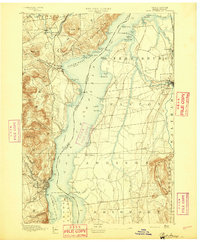
1894 · Port Henry
USGS Topo · 1:62,500
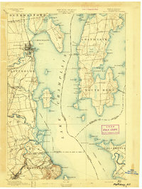
1894 · Plattsburg
USGS Topo · 1:62,500
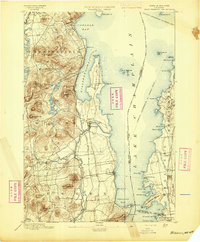
1895 · Willsboro
USGS Topo · 1:62,500
1898 · Port Henry
USGS Topo · 1:62,500
1903 · Middlebury
USGS Topo · 1:62,500
1905 · Middlebury
USGS Topo · 1:62,500
1906 · Plattsburg
USGS Topo · 1:62,500
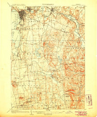
1906 · Burlington
USGS Topo · 1:62,500
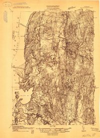
1913 · Milton
USGS Topo · 1:48,000
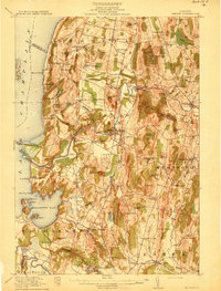
1915 · Milton
USGS Topo · 1:62,500