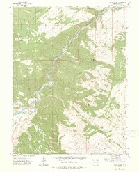
1972 Map of Burns South
USGS Topo · Published 1975About this map
The Colorado River carves a deep path through Eagle County in this early 1970s survey, dictating the route of the Denver and Rio Grande Western railroad. This corridor serves as the primary artery for the region, connecting the settlement at Burns with Derby Junction to the northeast. The surrounding landscape is defined by massive topographic features like Greenhorn Mountain and Big Red Hill, while the western portion of the map is protected within the White River National Forest.
Find a feature on this map
28 named features on this map. Tap any name to fly to it.
Don’t see what you’re looking for? This feature index may not catch every label — zoom into the map to look around manually.
Map Details
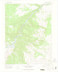
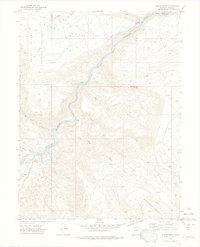
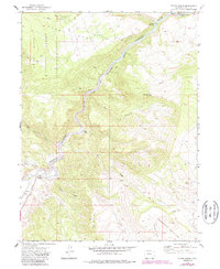
Editions of this 1972 Burns South Map
4 editions found
Other maps of this area

1927 · Glenwood Springs
USGS Topo · 1:125,000

1930 · Glenwood Springs
USGS Topo · 1:125,000

1957 · Leadville
USGS Topo · 1:250,000

1959 · Leadville
USGS Topo · 1:250,000

1960 · Leadville
USGS Topo · 1:250,000

1962 · Leadville
USGS Topo · 1:250,000

1962 · Gypsum
USGS Topo · 1:24,000

1962 · Eagle
USGS Topo · 1:24,000

1964 · Leadville
USGS Topo · 1:250,000

1972 · Blue Hill
USGS Topo · 1:24,000