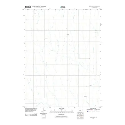
2009 Map of Burr Oak NW
USGS Topo · Published 2009About this map
Highland Cemetery and other pioneer burial grounds punctuate the rolling agricultural landscape of northern Jewell County at the turn of the 21st century. The map reveals a deeply etched drainage network defined by the winding course of White Rock Creek along the southern border, where numerous small tributaries like Ash Creek and Burr Oak Creek converge. The strictly rectangular section-line road system contrasts with these organic watercourses, illustrating the enduring influence of the Public Land Survey System on the Kansas plains.
Find a feature on this map
10 named features on this map. Tap any name to fly to it.
Don’t see what you’re looking for? This feature index may not catch every label — zoom into the map to look around manually.
Map Details
Editions of this 2009 Burr Oak NW Map
This is the sole edition of this map. No revisions or reprints were ever made.
Other maps of this area

1893 · Smith Center
USGS Topo · 1:125,000

1894 · Mankato
USGS Topo · 1:125,000

1897 · Red Cloud
USGS Topo · 1:125,000

1898 · Superior
USGS Topo · 1:125,000

1940 · Red Cloud
USGS Topo · 1:62,500

1942 · Red Cloud
USGS Topo · 1:62,500

1955 · Grand Island
USGS Topo · 1:250,000

1955 · Beloit
USGS Topo · 1:250,000

1957 · Grand Island
USGS Topo · 1:250,000

1958 · Grand Island
USGS Topo · 1:250,000