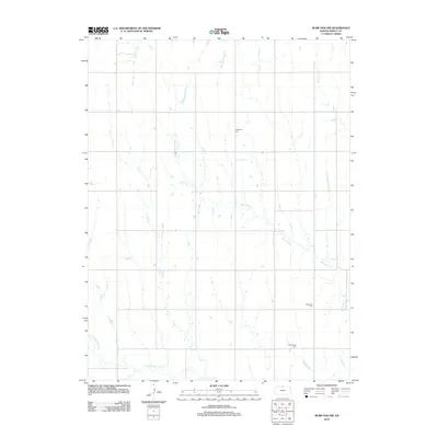
2012 Map of Burr Oak NW
USGS Topo · Published 2012About this map
White Rock Creek and its complex network of tributaries define this rural landscape in Jewell County during the early 21st century. The terrain is deeply inscribed by a dendritic drainage pattern where Ash Creek, Burr Oak Creek, and Oak Creek converge toward the southern valley. This hydrologic structure influenced the placement of early rural landmarks, which remain central to the area's geography.
Find a feature on this map
11 named features on this map. Tap any name to fly to it.
Don’t see what you’re looking for? This feature index may not catch every label — zoom into the map to look around manually.
Map Details
Editions of this 2012 Burr Oak NW Map
This is the sole edition of this map. No revisions or reprints were ever made.
Other maps of this area

1893 · Smith Center
USGS Topo · 1:125,000

1894 · Mankato
USGS Topo · 1:125,000

1897 · Red Cloud
USGS Topo · 1:125,000

1898 · Superior
USGS Topo · 1:125,000

1940 · Red Cloud
USGS Topo · 1:62,500

1942 · Red Cloud
USGS Topo · 1:62,500

1955 · Grand Island
USGS Topo · 1:250,000

1955 · Beloit
USGS Topo · 1:250,000

1957 · Grand Island
USGS Topo · 1:250,000

1958 · Grand Island
USGS Topo · 1:250,000