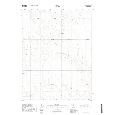
2018 Map of Burr Oak NW
USGS Topo · Published 2018About this map
White Rock Creek and its tributary North Branch White Rock Creek define the southern drainage of this Jewell County landscape, where the agricultural grid meets a network of winding waterways. The terrain is etched by numerous streams, including Ash Creek, Burr Oak Creek, and Lost Creek, which cut through the sections of the Public Land Survey System. For genealogists and local historians, the placement of Highland Cemetery, Oak Creek Cemetery, and Providence Cemetery provides essential markers of early settlement and community centers within the rural townships. A sparse network of gravel roads such as Diamond Road, Birch Road, and W Road connects these landmarks, tracing the same section lines established during the nineteenth-century survey of the Kansas frontier.
Find a feature on this map
22 named features on this map. Tap any name to fly to it.
Don’t see what you’re looking for? This feature index may not catch every label — zoom into the map to look around manually.
Map Details
Editions of this 2018 Burr Oak NW Map
This is the sole edition of this map. No revisions or reprints were ever made.
Other maps of this area

1893 · Smith Center
USGS Topo · 1:125,000

1894 · Mankato
USGS Topo · 1:125,000

1897 · Red Cloud
USGS Topo · 1:125,000

1898 · Superior
USGS Topo · 1:125,000

1940 · Red Cloud
USGS Topo · 1:62,500

1942 · Red Cloud
USGS Topo · 1:62,500

1955 · Grand Island
USGS Topo · 1:250,000

1955 · Beloit
USGS Topo · 1:250,000

1957 · Grand Island
USGS Topo · 1:250,000

1958 · Grand Island
USGS Topo · 1:250,000