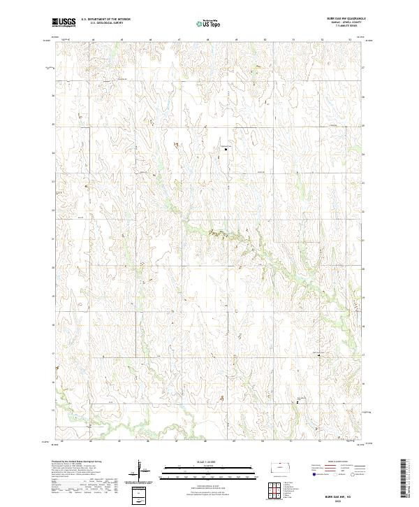
2022 Map of Burr Oak NW
USGS Topo · Published 2022About this map
The drainage of Burr Oak Cr and White Rock Cr defines this rural landscape in northern Jewell County. This agricultural terrain is organized by a strict section-line road grid, including Diamond Rd, Birch Rd, and Ash Rd, which provides access to the scattered cemeteries that serve as the primary records of earlier settlement. Genealogists and local historians can trace the locations of the Highland Cem in the northern hills, while Oak Creek Cem and Providence Cem are situated further south and east. The map illustrates a landscape etched by numerous small waterways, such as Hicks Cr, Oak Cr, and Lost Cr, which feed into the larger creek systems that eventually reach the N Br White Rock Cr.
Find a feature on this map
27 named features on this map. Tap any name to fly to it.
Don’t see what you’re looking for? This feature index may not catch every label — zoom into the map to look around manually.
Map Details
Editions of this 2022 Burr Oak NW Map
This is the sole edition of this map. No revisions or reprints were ever made.
Other maps of this area

1893 · Smith Center
USGS Topo · 1:125,000

1894 · Mankato
USGS Topo · 1:125,000

1897 · Red Cloud
USGS Topo · 1:125,000

1898 · Superior
USGS Topo · 1:125,000

1940 · Red Cloud
USGS Topo · 1:62,500

1942 · Red Cloud
USGS Topo · 1:62,500

1955 · Grand Island
USGS Topo · 1:250,000

1955 · Beloit
USGS Topo · 1:250,000

1957 · Grand Island
USGS Topo · 1:250,000

1958 · Grand Island
USGS Topo · 1:250,000