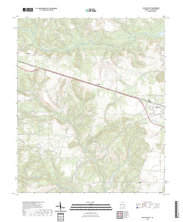
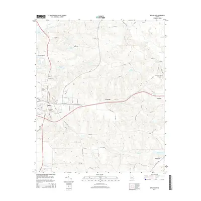
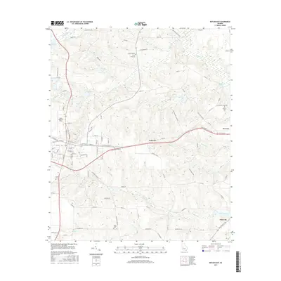
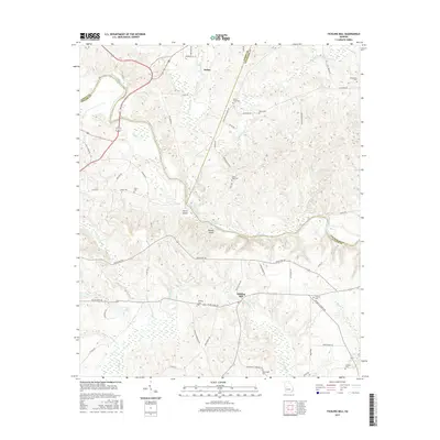
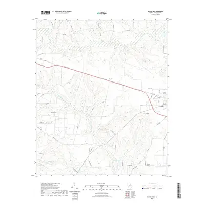
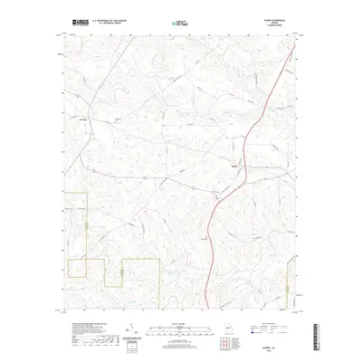
2024 Map of Butler West
USGS Topo · Published 2024About this map
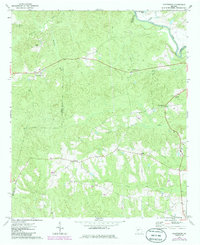
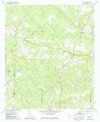
Patsiliga Creek winds through the northern reaches of this Taylor County landscape, defining a terrain of numerous tributaries and marshy lowlands. Modern infrastructure is anchored by the W Fall Line Freeway, which bisects the area, connecting the smaller settlements of Howard in the west to Goldson in the east. The map reveals a network of rural roads that often lead to local historical sites, such as the Brewer Cem and landmarks like Rustins Pond.
Find a feature on this map
65 named features on this map. Tap any name to fly to it.
Don’t see what you’re looking for? This feature index may not catch every label — zoom into the map to look around manually.
Map Details
Editions of this 2024 Butler West Map
This is the sole edition of this map. No revisions or reprints were ever made.
Historical Maps of Butler Through Time
36 maps found
1971 Butler East
Taylor County, GA

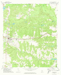
1971 Butler West
Taylor County, GA
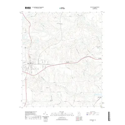
1971 Fickling Mill
Taylor County, GA
1971 Ideal North
Taylor County, GA
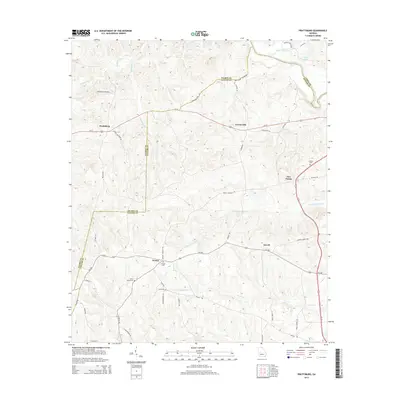
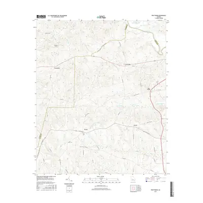
1971 Prattsburg
Taylor County, GA
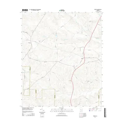
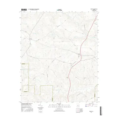
1971 Rupert
Taylor County, GA
2011 Butler East
Taylor County, GA
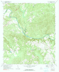
2011 Butler West
Taylor County, GA
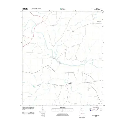
2011 Fickling Mill
Taylor County, GA
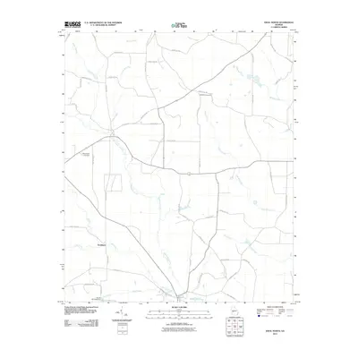
2011 Ideal North
Taylor County, GA
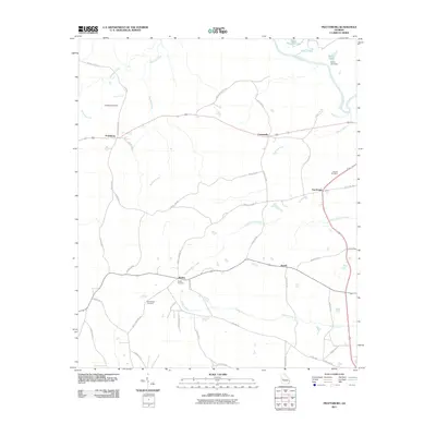
2011 Prattsburg
Taylor County, GA
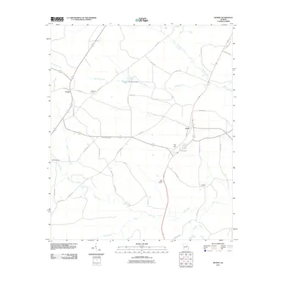
2011 Rupert
Taylor County, GA
2014 Butler East
Taylor County, GA
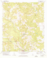
2014 Butler West
Taylor County, GA
2014 Fickling Mill
Taylor County, GA
2014 Ideal North
Taylor County, GA
2014 Prattsburg
Taylor County, GA
2014 Rupert
Taylor County, GA
2017 Butler East
Taylor County, GA
2017 Butler West
Taylor County, GA
2017 Fickling Mill
Taylor County, GA

2017 Ideal North
Taylor County, GA
2017 Prattsburg
Taylor County, GA
2017 Rupert
Taylor County, GA
2020 Butler East
Taylor County, GA
2020 Butler West
Taylor County, GA
2020 Fickling Mill
Taylor County, GA
2020 Ideal North
Taylor County, GA
2020 Prattsburg
Taylor County, GA
2020 Rupert
Taylor County, GA
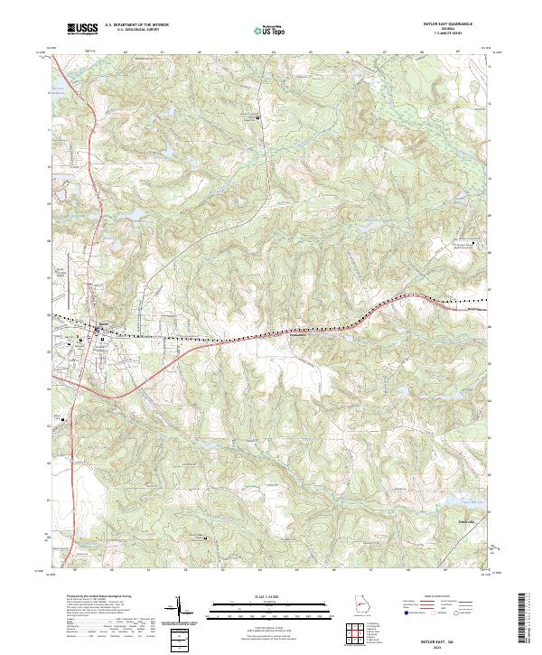
2024 Butler East
Taylor County, GA
2024 Butler West
Taylor County, GA
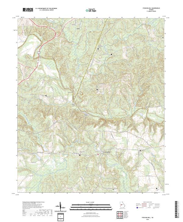
2024 Fickling Mill
Taylor County, GA
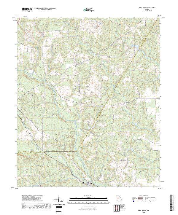
2024 Ideal North
Taylor County, GA
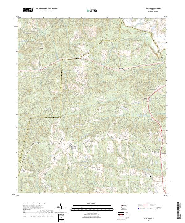
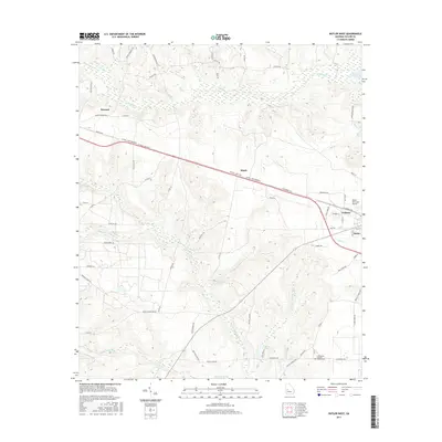
2024 Prattsburg
Taylor County, GA
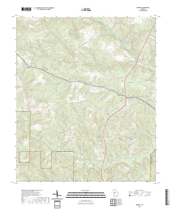
2024 Rupert
Taylor County, GA