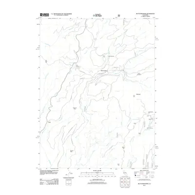
2012 Map of Butte Meadows
USGS Topo · Published 2012About this map
Butte Meadows serves as a central point in this high-elevation landscape, where the headwaters of several major northern California drainages originate. The terrain is defined by prominent elevations such as Carpenter Ridge and Thatcher Ridge, which separate the branching tributaries of Butte Cr and the W Br Feather River. This 2012 survey illustrates the concentration of seasonal and year-round activity around Soda Springs and Chico Meadows, including recreational infrastructure like the Soda Springs Campground and Camp Lassen.
Find a feature on this map
58 named features on this map. Tap any name to fly to it.
Don’t see what you’re looking for? This feature index may not catch every label — zoom into the map to look around manually.
Map Details
Editions of this 2012 Butte Meadows Map
This is the sole edition of this map. No revisions or reprints were ever made.
Other maps of this area

1886 · Lassen Peak
USGS Topo · 1:250,000

1888 · Bidwell Bar
USGS Topo · 1:125,000

1891 · Bidwell Bar
USGS Topo · 1:125,000

1891 · Chico
USGS Topo · 1:125,000

1892 · Lassen Peak
USGS Topo · 1:250,000

1893 · Chico
USGS Topo · 1:125,000

1893 · Bidwell Bar
USGS Topo · 1:125,000

1894 · Lassen Peak
USGS Topo · 1:250,000

1895 · Bidwell Bar
USGS Topo · 1:125,000

1895 · Chico
USGS Topo · 1:125,000