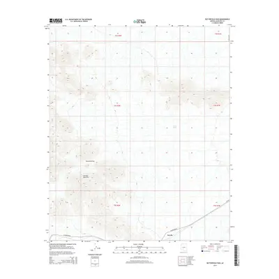
2014 Map of Butterfield Pass
USGS Topo · Published 2014About this map
Maricopa Mountains dominate this landscape in the Sonoran desert south of Phoenix, where sharp elevation changes define the local geography. The map centers on Butterfield Pass, a geographic gap used historically by the Southern Overland Mail, cutting through the granite peaks that define the region. In the southern portion of the sheet, the small settlement of Estrella sits along the rail line, representing a critical point of human activity in an otherwise arid environment. Modern infrastructure is visible through Az-238 and W Maricopa Rd, which traverse the flat alluvial plains. Water management in this dry climate is evidenced by solitary features like Conley Tank, which serves as a vital resource for both local livestock and desert wildlife in the shadow of the peaks.
Find a feature on this map
12 named features on this map. Tap any name to fly to it.
Don’t see what you’re looking for? This feature index may not catch every label — zoom into the map to look around manually.
Map Details
Editions of this 2014 Butterfield Pass Map
This is the sole edition of this map. No revisions or reprints were ever made.
Other maps of this area

1951 · Estrella
USGS Topo · 1:62,500

1951 · Gila Bend
USGS Topo · 1:62,500

1951 · Mobile
USGS Topo · 1:62,500

1951 · Cotton Center
USGS Topo · 1:62,500

1953 · Ajo
USGS Topo · 1:250,000

1954 · Phoenix
USGS Topo · 1:250,000

1957 · Ajo
USGS Topo · 1:250,000

1957 · Phoenix
USGS Topo · 1:250,000

1958 · Ajo
USGS Topo · 1:250,000

1958 · Phoenix
USGS Topo · 1:250,000