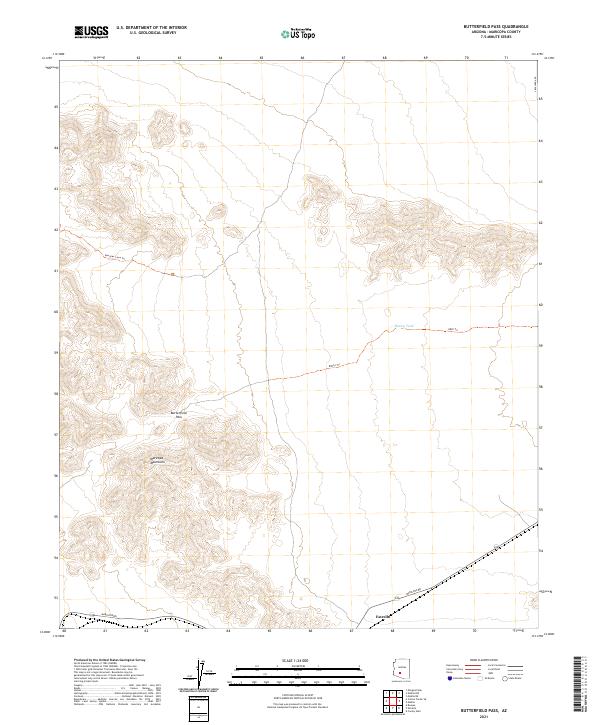
2021 Map of Butterfield Pass
USGS Topo · Published 2021About this map
Butterfield Pass serves as a central landmark in this desert landscape, cutting through the high ridges of the Maricopa Mountains. This map documents a region defined by its historic travel corridors and topographic prominence, where the settlement of Estrella sits along Maricopa Rd in the southern reaches. The desert floor is marked by essential water resources like Conley Tank and an intricate network of backcountry paths, including Margies Cove Trl, 8003a Trl, and 8003 Trl. These routes follow the natural contours of the land, navigating through areas such as Margies Cove. The township and range lines of the Public Land Survey System, such as t4s r2w and t5s r1w, provide a rigid grid over the complex relief of the mountain range.
Find a feature on this map
16 named features on this map. Tap any name to fly to it.
Don’t see what you’re looking for? This feature index may not catch every label — zoom into the map to look around manually.
Map Details
Editions of this 2021 Butterfield Pass Map
This is the sole edition of this map. No revisions or reprints were ever made.
Other maps of this area

1951 · Estrella
USGS Topo · 1:62,500

1951 · Gila Bend
USGS Topo · 1:62,500

1951 · Mobile
USGS Topo · 1:62,500

1951 · Cotton Center
USGS Topo · 1:62,500

1953 · Ajo
USGS Topo · 1:250,000

1954 · Phoenix
USGS Topo · 1:250,000

1957 · Ajo
USGS Topo · 1:250,000

1957 · Phoenix
USGS Topo · 1:250,000

1958 · Ajo
USGS Topo · 1:250,000

1958 · Phoenix
USGS Topo · 1:250,000