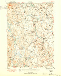
1944 Map of Buxton
USGS Topo · Published 1950About this map
The Saco River and Little Ossipee River dominate this Maine interior landscape during the early 1940s, serving as the historical backbone for a series of industrial and residential hamlets. Industrial activity is evident at Bar Mills, Salmon Falls, and Bonny Eagle, where the river's power was traditionally harnessed. The Boston and Maine railroad tracks cut through the eastern portion of the terrain, connecting settlements like Tory Hill and Buxton to the broader regional economy.
Find a feature on this map
113 named features on this map. Tap any name to fly to it.
Don’t see what you’re looking for? This feature index may not catch every label — zoom into the map to look around manually.
Map Details
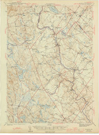
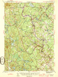
Editions of this 1944 Buxton Map
3 editions found
Other maps of this area

1891 · Portland
USGS Topo · 1:62,500

1891 · Biddeford
USGS Topo · 1:62,500

1891 · Berwick
USGS Topo · 1:62,500

1891 · Kennebunk
USGS Topo · 1:62,500

1891 · Buxton
USGS Topo · 1:62,500

1891 · Newfield
USGS Topo · 1:62,500

1892 · Buxton
USGS Topo · 1:62,500

1893 · Kennebunk
USGS Topo · 1:62,500

1893 · Berwick
USGS Topo · 1:62,500

1893 · Biddeford
USGS Topo · 1:62,500