
1892 Map of Buxton
USGS Topo · Published 1913About this map
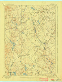
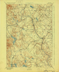
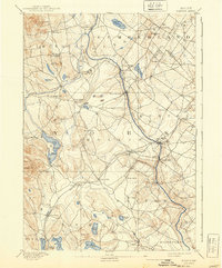
The Saco River serves as the dominant geographical and economic artery of this region, separating Cumberland and York counties. This late 19th-century landscape is defined by its water-powered industry, evidenced by the numerous mill settlements like Nasons Mills, Clarks Mills, and Goodwins Mills that dot the riverbanks and their tributaries. These nodes of activity were supported by the Portland and Rochester Railroad, which cut a diagonal path through the interior, connecting Hollis Center and East Waterboro to the broader regional economy.
Find a feature on this map
60 named features on this map. Tap any name to fly to it.
Don’t see what you’re looking for? This feature index may not catch every label — zoom into the map to look around manually.
Map Details
Editions of this 1892 Buxton Map
4 editions found
Other maps of this area

1891 · Portland
USGS Topo · 1:62,500

1891 · Biddeford
USGS Topo · 1:62,500

1891 · Berwick
USGS Topo · 1:62,500

1891 · Kennebunk
USGS Topo · 1:62,500

1891 · Buxton
USGS Topo · 1:62,500

1891 · Newfield
USGS Topo · 1:62,500

1893 · Kennebunk
USGS Topo · 1:62,500

1893 · Berwick
USGS Topo · 1:62,500

1893 · Biddeford
USGS Topo · 1:62,500

1893 · Portland
USGS Topo · 1:62,500