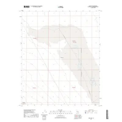
2018 Map of Cadiz Lake
USGS Topo · Published 2018About this map
Cadiz Valley and its distinctive dry-lake topography dominate this portion of the Mojave Desert in San Bernardino County. The landscape is defined by the stark industrial infrastructure of brine harvesting, most notably the network of the Salt Evaporator Plan Rd which services the large evaporation ponds used for mineral extraction. To the southwest, the terrain rises toward Calumet Mountain, marking the transition from the flat basin floor to more elevated ground. Ephemeral drainage patterns are traced by Watson Wash in the northwest and Browns Wash in the northeast, illustrating how water occasionally moves through this arid environment. This survey captures a specialized industrial landscape where natural geology and salt production intersect in a remote corner of California.
Find a feature on this map
10 named features on this map. Tap any name to fly to it.
Don’t see what you’re looking for? This feature index may not catch every label — zoom into the map to look around manually.
Map Details
Editions of this 2018 Cadiz Lake Map
This is the sole edition of this map. No revisions or reprints were ever made.
Other maps of this area

1942 · Amboy
USGS Topo · 1:250,000

1943 · Amboy
USGS Topo · 1:250,000

1943 · Cadiz Lake
USGS Topo · 1:62,500

1943 · Cadiz Valley
USGS Topo · 1:62,500

1954 · Needles
USGS Topo · 1:250,000

1956 · Needles
USGS Topo · 1:250,000

1956 · Dale Lake
USGS Topo · 1:62,500

1956 · Bristol Lake
USGS Topo · 1:62,500

1956 · Cadiz Lake
USGS Topo · 1:62,500
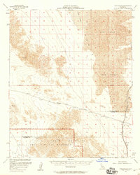
1956 · Cadiz Valley
USGS Topo · 1:62,500