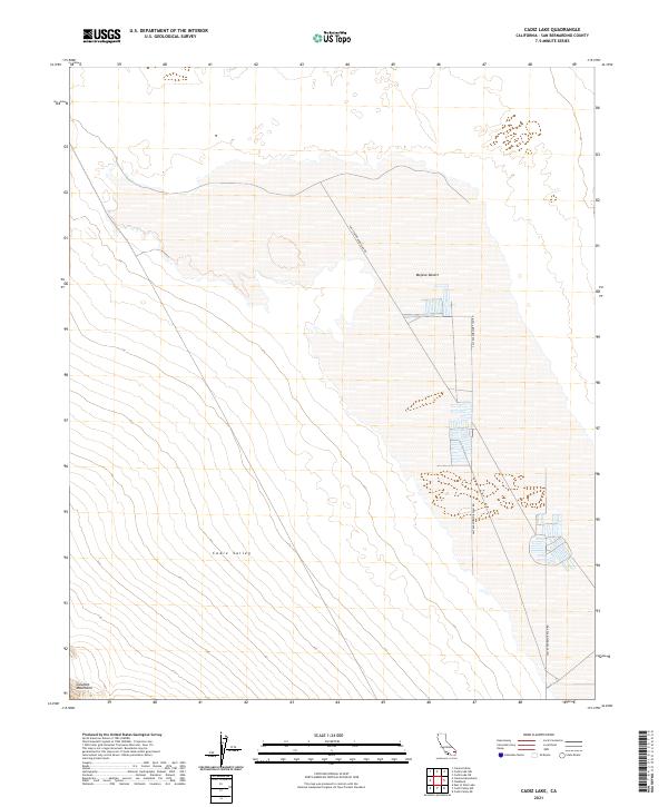
2021 Map of Cadiz Lake
USGS Topo · Published 2021About this map
The arid floor of the Mojave Desert defines this landscape, where the vast Cadiz Valley stretches between rising topography. The most striking human imprint on the terrain is the specialized industrial infrastructure represented by the Salt Evaporator Plan Rd, which bisects the valley floor to serve the salt harvesting operations that dominate this dry lake region. To the southwest, the foothills of the Calumet Mountains provide a sharp contrast to the basin floor, marking the edge of the desert flats. This survey illustrates a modern era of industrial land use within a sparsely settled wilderness, where geometric road patterns and township boundaries like t3n r15e carve the open desert into managed resource zones.
Find a feature on this map
8 named features on this map. Tap any name to fly to it.
Don’t see what you’re looking for? This feature index may not catch every label — zoom into the map to look around manually.
Map Details
Editions of this 2021 Cadiz Lake Map
This is the sole edition of this map. No revisions or reprints were ever made.
Other maps of this area

1942 · Amboy
USGS Topo · 1:250,000

1943 · Amboy
USGS Topo · 1:250,000

1943 · Cadiz Lake
USGS Topo · 1:62,500

1943 · Cadiz Valley
USGS Topo · 1:62,500

1954 · Needles
USGS Topo · 1:250,000

1956 · Needles
USGS Topo · 1:250,000

1956 · Dale Lake
USGS Topo · 1:62,500

1956 · Bristol Lake
USGS Topo · 1:62,500

1956 · Cadiz Lake
USGS Topo · 1:62,500
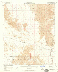
1956 · Cadiz Valley
USGS Topo · 1:62,500