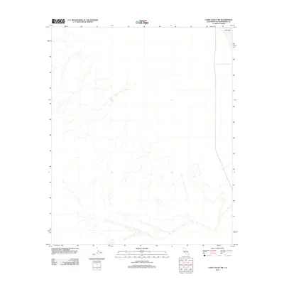
2012 Map of Cadiz Valley NW
USGS Topo · Published 2012About this map
Cadiz Lake sits in the northeast corner of this arid landscape in San Bernardino County. The desert terrain is defined by dry washes and drainage patterns that descend toward the salt flats and basins characteristic of the region. This 2012 survey documents the desolate topography between the Calumet Mountains and the Kilbeck Hills, showing a network of ephemeral watercourses that flow only during rare desert storms. The lack of permanent structures or roads across this vast area reflects the extreme environment and preserved wilderness typical of the Mojave desert interior during the early twenty-first century.
Find a feature on this map
1 named feature on this map. Tap any name to fly to it.
Don’t see what you’re looking for? This feature index may not catch every label — zoom into the map to look around manually.
Map Details
Editions of this 2012 Cadiz Valley NW Map
This is the sole edition of this map. No revisions or reprints were ever made.
Other maps of this area

1942 · Amboy
USGS Topo · 1:250,000

1943 · Amboy
USGS Topo · 1:250,000

1943 · Cadiz Lake
USGS Topo · 1:62,500

1943 · Cadiz Valley
USGS Topo · 1:62,500

1954 · Needles
USGS Topo · 1:250,000

1956 · Needles
USGS Topo · 1:250,000

1956 · Dale Lake
USGS Topo · 1:62,500

1956 · Bristol Lake
USGS Topo · 1:62,500

1956 · Cadiz Lake
USGS Topo · 1:62,500
1956 · Cadiz Valley
USGS Topo · 1:62,500