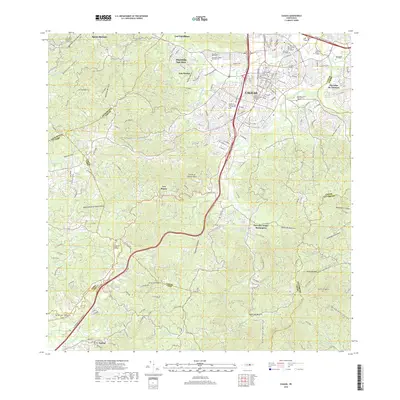
Loading...
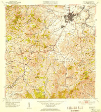
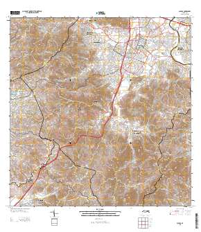
Loading map...1952 Map of Caguas
USGS Topo · Published 1953About this map
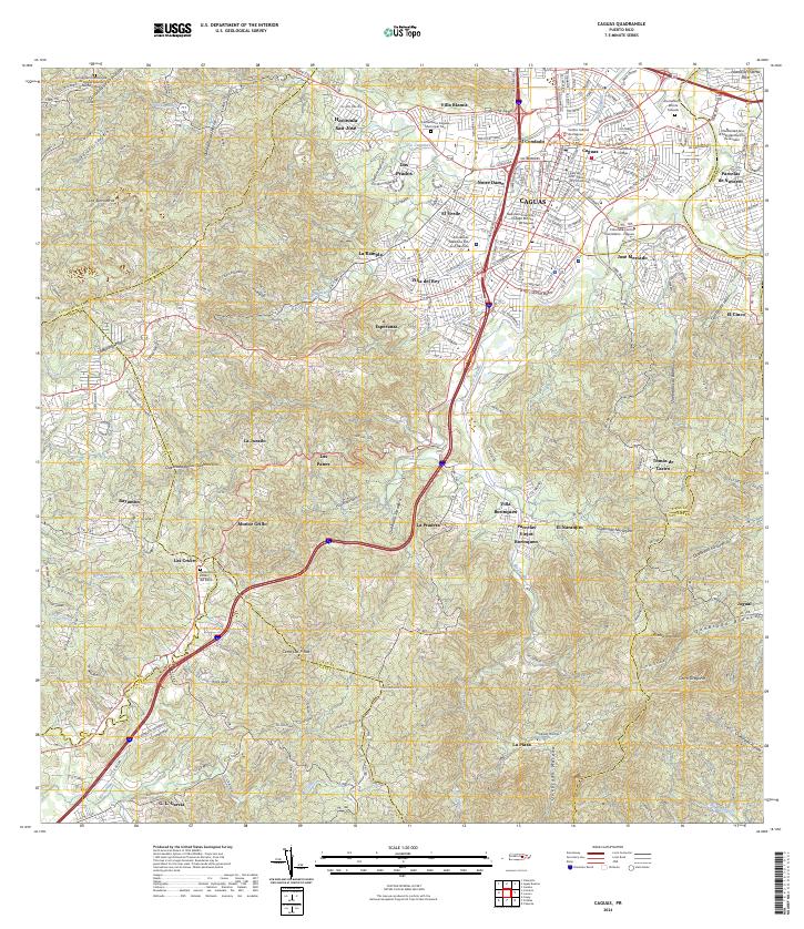
Caguas serves as the focal point of this mid-century landscape, situated where the Río Cagüitas and Río Bairoa flow toward the Río Grande de Loíza. The map reveals a transition between the dense urban grid of the city and the surrounding agricultural valleys, marked by industrial hubs such as Bairoa Central, Santa Juana, and Central Defensa. These processing centers were critical to the local economy, connected by a network of roads that wind through steep terrain divided into barrios like Sumidero and Canaboncito.
Find a feature on this map
63 named features on this map. Tap any name to fly to it.
Don’t see what you’re looking for? This feature index may not catch every label — zoom into the map to look around manually.
Map Details
Date Portrayed1952
Date Published1953
PublisherU.S. Geological Survey
Map TypeTopographic
Scale1:30,000
Physical Dimensions19.6 x 21.8 inches
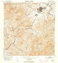
Editions of this 1952 Caguas Map
2 editions found
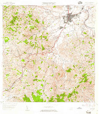
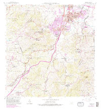
Historical Maps of Caguas Through Time
7 maps found

Featured Locations
- Caguas, Caguas
- Sector Benito Guzmán, Caguas
- Sector Doña Munda, Caguas
- Sector Turabo Abajo, Caguas
- Sector Almena, Aguas Buenas
Source Details
SourceU.S. Geological Survey
CopyrightPublic Domain