Loading...
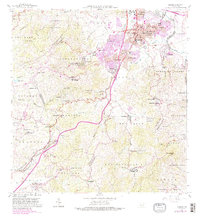
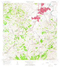
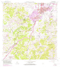
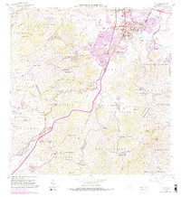
Loading map...1964 Map of Caguas
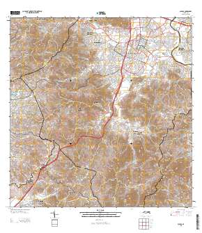
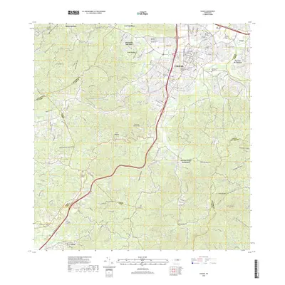
USGS Topo · Published 1989About this map
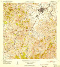
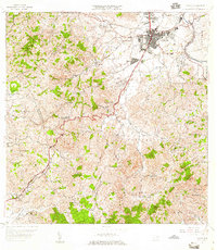
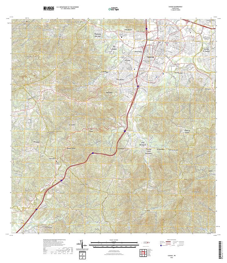
Caguas serves as the focal point of this mid-century landscape, positioned at the confluence of the Rio Grande de Loiza and the Rio Turabo. The urban core is dense with institutional landmarks, including the Alcaldia, Tribunal Superior, and various educational sites like the Escuela Superior Gautier Benitez. Beyond the city, the terrain transitions into a patchwork of rural barrios such as Beatriz and Canaboncito, characterized by many neighborhood schools and small chapels like the Capilla del Sagrado Corazón.
Find a feature on this map
125 named features on this map. Tap any name to fly to it.
Don’t see what you’re looking for? This feature index may not catch every label — zoom into the map to look around manually.
Map Details
Date Portrayed1964
Date Published1989
PublisherU.S. Geological Survey
Map TypeTopographic
Scale1:20,000
Physical Dimensions29.9 x 32.4 inches
Editions of this 1964 Caguas Map
4 editions found
Historical Maps of Caguas Through Time
7 maps found

Featured Locations
- Caguas, Caguas
- Sector Benito Guzmán, Caguas
- Sector Doña Munda, Caguas
- Sector Turabo Abajo, Caguas
- Sector Almena, Aguas Buenas
Source Details
SourceU.S. Geological Survey
CopyrightPublic Domain