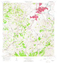
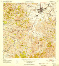
1964 Map of Caguas
USGS Topo · Published 1966About this map
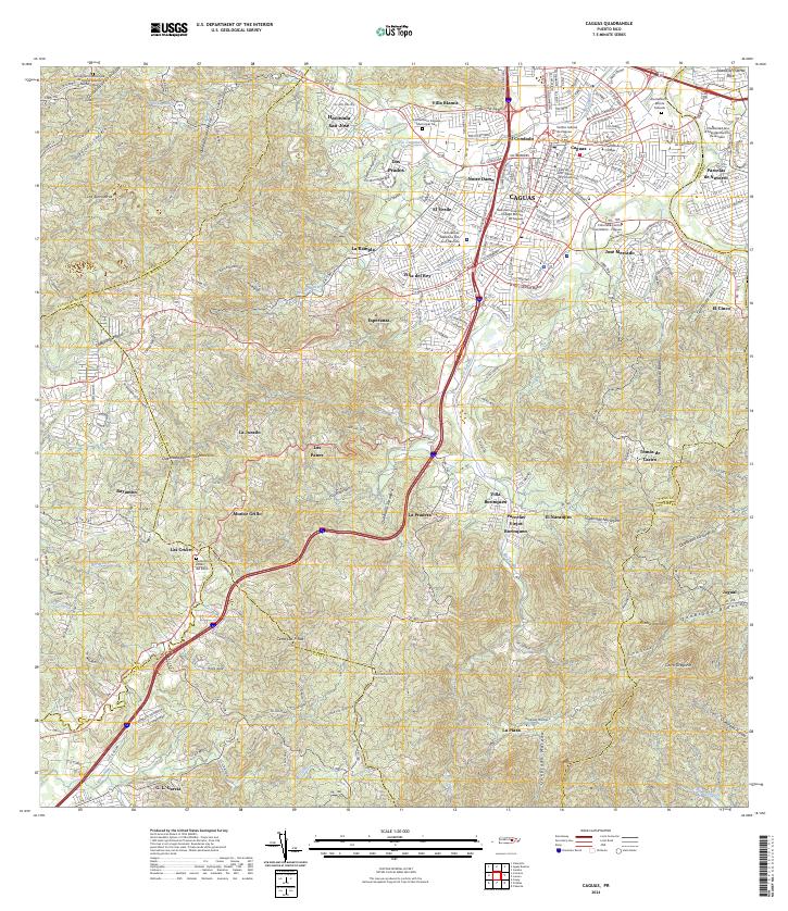
Caguas undergoes significant mid-century expansion in this mid-1960s survey, showing the emergence of residential developments like Villa Blanca and Villa del Rey against the traditional urban core. The Río Grande de Loíza and Río Turabo converge near the city center, which remains the civic heart of the region with its Alcaldía, Tribunal Superior, and the prominent Notre Dame church. The landscape transitions from these dense urbanized zones into the agricultural and rugged surroundings of barrios like Cañabón and Guavate. Local social infrastructure is densely mapped, featuring numerous rural schools such as Escuela La Sierra and Escuela Certenejas, alongside religious sites like the Capilla del Sagrado Corazón. Traces of local industry and utilities are evident through landmarks like the Pista de Aterrizaje and several Cantera sites, reflecting a period of active growth and modernization in the Puerto Rican interior.
Find a feature on this map
119 named features on this map. Tap any name to fly to it.
Don’t see what you’re looking for? This feature index may not catch every label — zoom into the map to look around manually.
Map Details
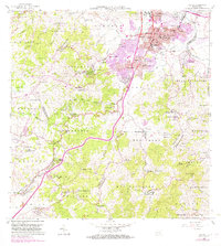
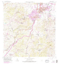
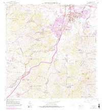
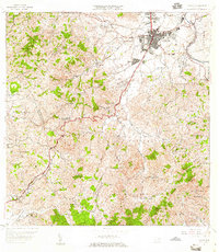
Editions of this 1964 Caguas Map
4 editions found
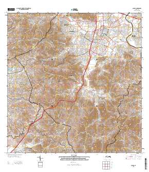
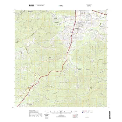
Historical Maps of Caguas Through Time
7 maps found

Featured Locations
- Caguas, Caguas
- Sector Benito Guzmán, Caguas
- Sector Doña Munda, Caguas
- Sector Turabo Abajo, Caguas
- Sector Almena, Aguas Buenas