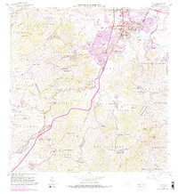
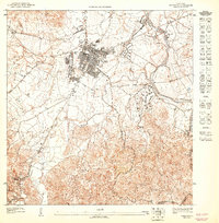
1964 Map of Caguas
USGS Topo · Published 1989About this map
Caguas serves as a bustling urban and agricultural hub at the confluence of several major waterways, including the Rio Grande de Loiza and Rio Turabo. The 1964 revision highlights a landscape in transition, where established barrios like Canaboncito, Beatriz, and Tomas de Castro are connected by a developing road network, including the Autopista. This map provides a remarkable level of institutional detail within the city center, identifying the Alcaldia, Tribunal Superior, and a dense concentration of schools such as Escuela Superior Gautier Benitez and Escuela Notre Dame.
Find a feature on this map
124 named features on this map. Tap any name to fly to it.
Don’t see what you’re looking for? This feature index may not catch every label — zoom into the map to look around manually.
Map Details
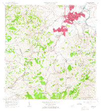
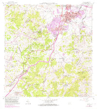
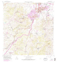
Editions of this 1964 Caguas Map
4 editions found
Other maps of this area

1946 · Patillas
USGS Topo · 1:30,000

1946 · Aguas Buenas
USGS Topo · 1:30,000

1946 · Cayey
USGS Topo · 1:30,000

1946 · Comerio
USGS Topo · 1:30,000

1946 · Naranjito
USGS Topo · 1:30,000

1946 · Gurabo
USGS Topo · 1:30,000

1946 · Juncos
USGS Topo · 1:30,000

1946 · Yabucoa
USGS Topo · 1:30,000

1946 · Caguas
USGS Topo · 1:30,000
1947 · Caguas NE
USGS Topo · 1:10,000
Featured Places
- Caguas
- Sector Doña Munda, Caguas
- Sector Almena, Aguas Buenas
- Sector Turabo Abajo, Caguas
- Sector Benito Guzmán, Caguas