2023 Map of Cairo
USGS Topo · Published 2023About this map
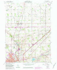
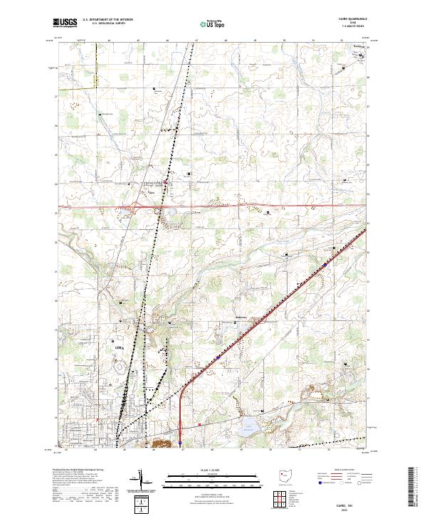
Lima and the village of Cairo anchor this western Ohio landscape, where the northern edges of the city meet the agricultural expanses of Putnam and Allen counties. The Ottawa River and its network of tributaries, including Sugar Creek and Rattlesnake Creek, define the drainage of this area, eventually leading toward the Lima Reservoir. The map reveals a dense concentration of historical burial sites, such as the State Hospital Cem and New Rockport Cem, reflecting the region’s long-settled rural character.
Find a feature on this map
116 named features on this map. Tap any name to fly to it.
Don’t see what you’re looking for? This feature index may not catch every label — zoom into the map to look around manually.
Map Details
Editions of this 2023 Cairo Map
This is the sole edition of this map. No revisions or reprints were ever made.