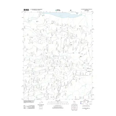
2012 Map of Calaveras Dome
USGS Topo · Published 2012About this map
The N Fork Mokelumne River and N Fork Stanislaus River define this high-elevation Sierra Nevada landscape, where the Salt Springs Reservoir dominates the northern border. This 2012 survey illustrates a region largely shaped by forest service access and historical land use, with notable landmarks like Calaveras Dome and Shovel Grave marking the terrain. The settlement at Ganns and seasonal sites such as Cuneo Camp provide anchoring points for human activity among numerous gulches and flats.
Find a feature on this map
38 named features on this map. Tap any name to fly to it.
Don’t see what you’re looking for? This feature index may not catch every label — zoom into the map to look around manually.
Map Details
Editions of this 2012 Calaveras Dome Map
This is the sole edition of this map. No revisions or reprints were ever made.
Other maps of this area

1889 · Pyramid Peak
USGS Topo · 1:125,000

1891 · Big Trees
USGS Topo · 1:125,000

1891 · Pyramid Peak
USGS Topo · 1:125,000

1894 · Big Trees
USGS Topo · 1:125,000

1895 · Pyramid Peak
USGS Topo · 1:125,000

1896 · Pyramid Peak
USGS Topo · 1:125,000

1897 · Big Trees
USGS Topo · 1:125,000

1901 · Big Trees
USGS Topo · 1:125,000

1947 · Sacramento
USGS Topo · 1:250,000

1948 · Sacramento
USGS Topo · 1:250,000