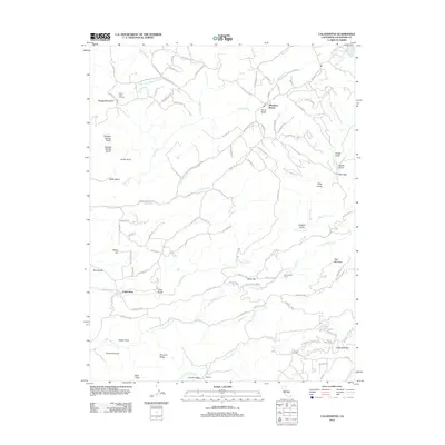
2012 Map of Calaveritas
USGS Topo · Published 2012About this map
Mountain Ranch and the small settlement of Calaveritas anchor this landscape in Calaveras County, where the foothills are carved by a dense network of watercourses and mining-era history. The map shows a geography defined by deep drainages like Calaveritas Cr and San Antonio Cr, alongside numerous named gulches such as Adobe Gulch and Joaquin Gulch. The presence of Lucky Jim Mine Rd, Blue Eagle Mine Rd, and Quartz Mine Trl points to the region's long-standing gold mining heritage, while modern infrastructure like the Sierra Vista Lookout on the western slopes overlooks the varied terrain.
Find a feature on this map
93 named features on this map. Tap any name to fly to it.
Don’t see what you’re looking for? This feature index may not catch every label — zoom into the map to look around manually.
Map Details
Editions of this 2012 Calaveritas Map
This is the sole edition of this map. No revisions or reprints were ever made.
Other maps of this area

1889 · Jackson
USGS Topo · 1:125,000

1891 · Big Trees
USGS Topo · 1:125,000

1892 · Jackson
USGS Topo · 1:125,000

1894 · Big Trees
USGS Topo · 1:125,000

1897 · Jackson
USGS Topo · 1:125,000

1897 · Big Trees
USGS Topo · 1:125,000

1901 · Big Trees
USGS Topo · 1:125,000

1902 · Jackson
USGS Topo · 1:125,000

1945 · San Andreas
USGS Topo · 1:62,500

1947 · San Andreas
USGS Topo · 1:62,500