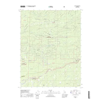
2018 Map of Caldor
USGS Topo · Published 2018About this map
The Caldor settlement and its surrounding logging and mining history are documented in this 2018 survey of the Eldorado National Forest. Situated near the county line between El Dorado and Amador Counties, the landscape is defined by the three forks of the Steely Fork, Middle Fork, and South Fork Cosumnes River. These waterways are flanked by significant ridges such as Plummer Ridge and Big Mountain Ridge.
Find a feature on this map
63 named features on this map. Tap any name to fly to it.
Don’t see what you’re looking for? This feature index may not catch every label — zoom into the map to look around manually.
Map Details
Editions of this 2018 Caldor Map
This is the sole edition of this map. No revisions or reprints were ever made.
Other maps of this area

1889 · Jackson
USGS Topo · 1:125,000

1889 · Pyramid Peak
USGS Topo · 1:125,000

1891 · Big Trees
USGS Topo · 1:125,000

1891 · Placerville
USGS Topo · 1:125,000

1891 · Pyramid Peak
USGS Topo · 1:125,000

1892 · Jackson
USGS Topo · 1:125,000

1892 · Placerville
USGS Topo · 1:125,000

1893 · Placerville
USGS Topo · 1:125,000

1894 · Big Trees
USGS Topo · 1:125,000

1895 · Pyramid Peak
USGS Topo · 1:125,000