Loading...
Loading map...2023 Map of Caledonia
USGS Topo · Published 2023About this map
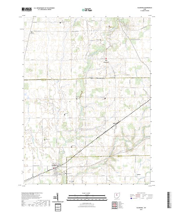
The Olentangy River meanders south through this agricultural landscape, forming a natural corridor between the small communities of New Winchester and Caledonia. This territory spans the border of Crawford, Marion, and Morrow counties, defined by a dense grid of rural township roads and family-named landmarks. The village of Caledonia serves as a local hub near the southern edge, while the hamlet of Martel sits at a crossroads further north.
Find a feature on this map
83 named features on this map. Tap any name to fly to it.
Don’t see what you’re looking for? This feature index may not catch every label — zoom into the map to look around manually.
Map Details
Date Portrayed2023
Date Published2023
PublisherU.S. Geological Survey
Map TypeTopographic
Scale1:24000
Physical Dimensions24 x 29 inches
Editions of this 2023 Caledonia Map
This is the sole edition of this map. No revisions or reprints were ever made.
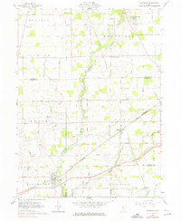
Historical Maps of Bucyrus Township Through Time
Featured Locations
- Canaan Township, OH
- Bucyrus Township, OH
- Dallas Township, OH
- Caledonia, Claridon Township
- New Winchester, Whetstone Township
Source Details
SourceU.S. Geological Survey
CopyrightPublic Domain