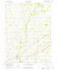
1961 Map of Caledonia
USGS Topo · Published 1976About this map
The OlentangY River meanders south through this rural landscape, serving as a geographic anchor for several mid-century Ohio townships including Bucyrus, Whetstone, and Claridon. The village of Caledonia is the primary hub at the southern edge, where the New York Central and Erie New York Central railroads converge. This era of connectivity is further illustrated by smaller junctions like Martel and the community of New Winchester to the north.
Find a feature on this map
36 named features on this map. Tap any name to fly to it.
Don’t see what you’re looking for? This feature index may not catch every label — zoom into the map to look around manually.
Map Details
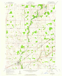
Editions of this 1961 Caledonia Map
2 editions found
Other maps of this area

1903 · Marion
USGS Topo · 1:62,500

1905 · Marion
USGS Topo · 1:62,500

1906 · Sycamore
USGS Topo · 1:62,500

1913 · Mount Gilead
USGS Topo · 1:62,500

1915 · Bucyrus
USGS Topo · 1:62,500

1916 · Mount Gilead
USGS Topo · 1:62,500

1943 · Bucyrus
USGS Topo · 1:62,500

1943 · Mount Gilead
USGS Topo · 1:62,500

1950 · Marion
USGS Topo · 1:250,000

1960 · North Robinson
USGS Topo · 1:24,000