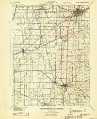
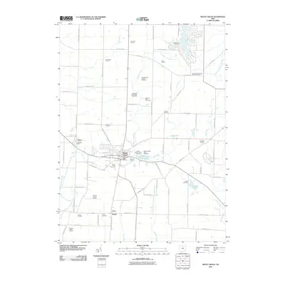
1943 Map of Mount Gilead
USGS Topo · Published 1943About this map
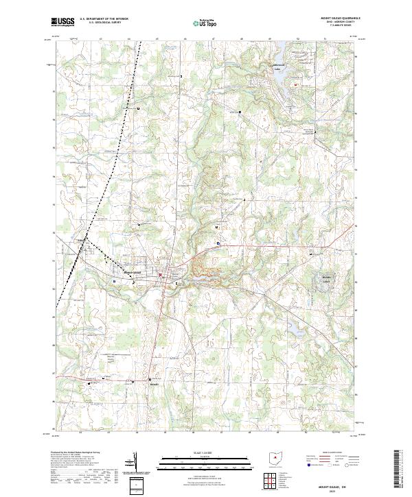
Galion serves as a major rail hub in the northeastern portion of this survey, where the Erie and New York Central lines converge. This 1943 revision, based on 1939 aerial photography, reveals a landscape defined by an intricate network of rural district schools and small settlements spanning the borders of Crawford, Marion, and Morrow counties. The county seat at Mount Gilead is positioned along Whetstone Creek, while smaller communities like Edison and Cardington follow the path of the New York Central railroad.
Find a feature on this map
88 named features on this map. Tap any name to fly to it.
Don’t see what you’re looking for? This feature index may not catch every label — zoom into the map to look around manually.
Map Details
Editions of this 1943 Mount Gilead Map
This is the sole edition of this map. No revisions or reprints were ever made.
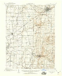
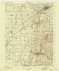
Historical Maps of Galion Through Time
9 maps found
1913 Mount Gilead
Morrow County, OH
1916 Mount Gilead
Morrow County, OH
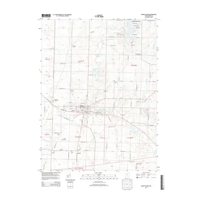
1943 Mount Gilead
Morrow County, OH
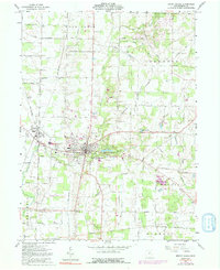
1961 Mount Gilead
Morrow County, OH
2010 Mount Gilead
Morrow County, OH
2013 Mount Gilead
Morrow County, OH
2016 Mount Gilead
Morrow County, OH
2019 Mount Gilead
Morrow County, OH
2023 Mount Gilead
Morrow County, OH
Featured Locations
- Galion, OH
- Cardington, Cardington Township
- Caledonia, Claridon Township
- Claridon, Claridon Township
- Mount Gilead, Gilead Township