
1960 Map of North Robinson
USGS Topo · Published 1961About this map
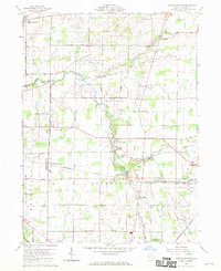
North Robinson serves as a central point in this 1960 survey of Crawford County, where the agricultural landscape is intersected by the heavy rail corridors of the Pennsylvania and New York Central railroads. The era’s recreational and social infrastructure is visible through landmarks like the Drive-In Theater and the waters of Lake Galion, while the rural fabric is maintained by numerous country burial grounds such as Windfall Cem and Liberty Cem. The Sandusky River and Loss Creek wind through the township boundaries, illustrating the natural drainage patterns that shaped local farm placement. A unique surveying detail is the West Boundary Congress Lands North of Old Seven Ranges, which marks a significant historical division in Ohio's early land system, still influencing road patterns like Dekalb Road and Replinger Road.
Find a feature on this map
43 named features on this map. Tap any name to fly to it.
Don’t see what you’re looking for? This feature index may not catch every label — zoom into the map to look around manually.
Map Details
Editions of this 1960 North Robinson Map
4 editions found
Other maps of this area

1913 · Mount Gilead
USGS Topo · 1:62,500

1915 · Bucyrus
USGS Topo · 1:62,500

1915 · Crestline
USGS Topo · 1:62,500

1915 · Shauck
USGS Topo · 1:62,500

1916 · Mount Gilead
USGS Topo · 1:62,500

1943 · Shauck
USGS Topo · 1:62,500

1943 · Bucyrus
USGS Topo · 1:62,500

1943 · Crestline
USGS Topo · 1:62,500

1943 · Mount Gilead
USGS Topo · 1:62,500

1950 · Marion
USGS Topo · 1:250,000