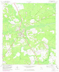
1970 Map of Callahan
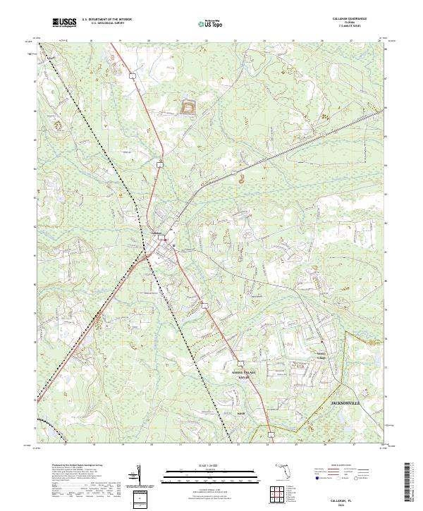
USGS Topo · Published 1973About this map
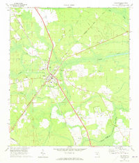
The railroad junction at Callahan serves as the central hub of this 1970 landscape, where the Seaboard Coast Line and Southern tracks intersect amidst the pines and wetlands of Nassau County. This survey reveals a community deeply tied to its rural roots and transportation networks, featuring the Fairgrounds just north of the town center and a local Sandpit that points to the area's geological and extractive industry. Small rural settlements like Dyal and Ratliff dot the outskirts, connected by a web of local roads such as Stratton Road and Bismark Road.
Find a feature on this map
27 named features on this map. Tap any name to fly to it.
Don’t see what you’re looking for? This feature index may not catch every label — zoom into the map to look around manually.
Map Details
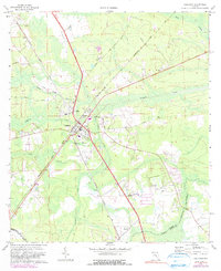
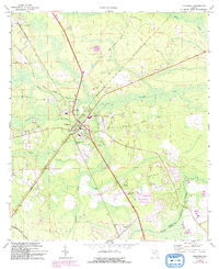
Editions of this 1970 Callahan Map
4 editions found