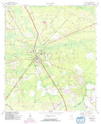
1970 Map of Callahan
USGS Topo · Published 1992About this map
Callahan serves as the central hub of this North Florida landscape, where a dense network of roads and rail lines intersect amidst the low-lying drainage basins of Alligator Creek and Cushing Creek. The map documents a rural transition during the early 1970s, with updates from the 1990s showing expansion near Gray Gables and the development of a Golf Course to the south. Local heritage is grounded in sites like Live Oak Ch near Dyal and the Jones Cem, illustrating the dispersed settlement patterns of Nassau County. Natural resource extraction and community infrastructure are visible through the presence of a northern Sandpit and the municipal Sewage Disposal and Water Tank facilities. The southern boundary is defined by the winding course of Thomas Creek, marking the division between Nassau and Duval counties.
Find a feature on this map
28 named features on this map. Tap any name to fly to it.
Don’t see what you’re looking for? This feature index may not catch every label — zoom into the map to look around manually.
Map Details
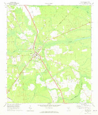
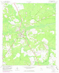
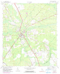
Editions of this 1970 Callahan Map
4 editions found
Other maps of this area

1917 · Cambon
USGS Topo · 1:62,500

1917 · Hilliard
USGS Topo · 1:62,500

1918 · St Marys
USGS Topo · 1:62,500

1918 · Cambon
USGS Topo · 1:62,500

1918 · Jacksonville
USGS Topo · 1:62,500

1919 · St Marys
USGS Topo · 1:62,500

1919 · Hilliard
USGS Topo · 1:62,500

1948 · Jacksonville
USGS Topo · 1:250,000

1950 · Trout River
USGS Topo · 1:24,000

1957 · Jacksonville
USGS Topo · 1:250,000