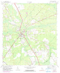
1970 Map of Callahan
USGS Topo · Published 1990About this map
Callahan serves as a central hub in Nassau County on this 1970s record, defined by the intersection of major rail lines and local roads. The town's layout is centered around the Seaboard Coast Line and the Georgia Southern and Florida railroads, reflecting its historical significance as a junction point. To the north lies Dyal, while the small settlement of Ratliff is positioned to the south near the Nassau Co Duval Co boundary.
Find a feature on this map
30 named features on this map. Tap any name to fly to it.
Don’t see what you’re looking for? This feature index may not catch every label — zoom into the map to look around manually.
Map Details
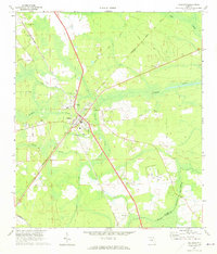
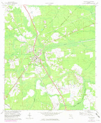
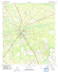
Editions of this 1970 Callahan Map
4 editions found
Other maps of this area

1917 · Cambon
USGS Topo · 1:62,500

1917 · Hilliard
USGS Topo · 1:62,500

1918 · St Marys
USGS Topo · 1:62,500

1918 · Cambon
USGS Topo · 1:62,500

1918 · Jacksonville
USGS Topo · 1:62,500

1919 · St Marys
USGS Topo · 1:62,500

1919 · Hilliard
USGS Topo · 1:62,500

1948 · Jacksonville
USGS Topo · 1:250,000

1950 · Trout River
USGS Topo · 1:24,000

1957 · Jacksonville
USGS Topo · 1:250,000