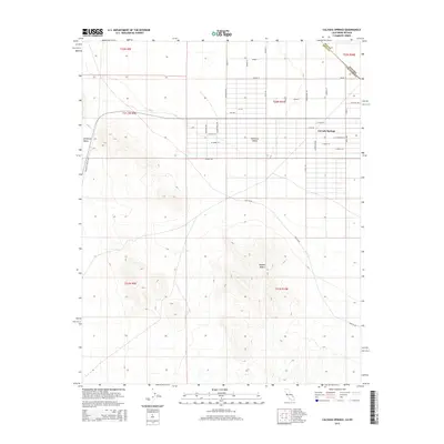
2015 Map of Calvada Springs
USGS Topo · Published 2015About this map
Calvada Springs sits at the intersection of arid desert basins and modern development along the state line in the mid-2010s. This survey records the distinct residential grid of Charleston Vw and the surrounding high-desert environment where the Pahrump Valley meets the southern reach of the California Valley. The map detail shows a network of planned streets with names like Zircon St, Gold St, and Opal St, illustrating the deliberate layout of this border community. Beyond the settled area, the landscape gives way to the open expanse of the Mojave Desert, traversed by functional desert routes such as Two Hk Rd and Mesquite Valley Rd. These features indicate the transition from structured development to the more remote, natural terrain characteristic of the Inyo County and Nye County boundary region.
Find a feature on this map
36 named features on this map. Tap any name to fly to it.
Don’t see what you’re looking for? This feature index may not catch every label — zoom into the map to look around manually.
Map Details
Editions of this 2015 Calvada Springs Map
This is the sole edition of this map. No revisions or reprints were ever made.
Other maps of this area

1907 · Las Vegas
USGS Topo · 1:250,000

1908 · Furnace Creek
USGS Topo · 1:250,000

1908 · Las Vegas
USGS Topo · 1:250,000

1910 · Furnace Creek
USGS Topo · 1:250,000

1910 · Ivanpah
USGS Topo · 1:250,000

1912 · Ivanpah
USGS Topo · 1:250,000

1933 · Avawatz Mountains
USGS Topo · 1:250,000

1942 · Ivanpah
USGS Topo · 1:250,000

1947 · Trona
USGS Topo · 1:250,000

1947 · Kingman
USGS Topo · 1:250,000