
1908 Map of Las Vegas
USGS Topo · Published 1908About this map
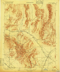
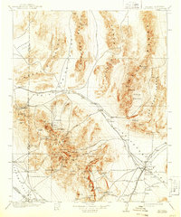
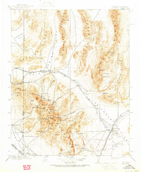
Las Vegas is depicted here as a fledgling desert outpost at the junction of the San Pedro Los Angeles & Salt Lake RR and the Las Vegas and Tonopah RR. The landscape is dominated by the Spring Mountain Range, where the Charleston National Forest surrounds Charleston Peak. This early century survey reveals a reliance on scattered water sources such as Indian Springs and Corn Creek, which supported early homesteads and ranching outposts like Smiths Ranch and Pahrump Ranch. Evidence of early industrial activity is found at the Stirling Mine (Abandoned) and a Marble Quarry, while the vast Yucca Forest stretches across the Sheep Range. The map documents a critical period of transition as rail lines began to reshape the settlement patterns of Southern Nevada.
Find a feature on this map
119 named features on this map. Tap any name to fly to it.
Don’t see what you’re looking for? This feature index may not catch every label — zoom into the map to look around manually.
Map Details
Editions of this 1908 Las Vegas Map
4 editions found
Other maps of this area

1885 · Pioche
USGS Topo · 1:250,000

1886 · Camp Mohave
USGS Topo · 1:250,000

1886 · Saint Thomas
USGS Topo · 1:250,000

1886 · Pioche
USGS Topo · 1:250,000

1892 · Camp Mohave
USGS Topo · 1:250,000

1893 · Saint Thomas
USGS Topo · 1:250,000

1907 · Las Vegas
USGS Topo · 1:250,000

1908 · Kawich
USGS Topo · 1:250,000

1908 · Furnace Creek
USGS Topo · 1:250,000

1910 · Furnace Creek
USGS Topo · 1:250,000