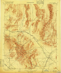
1908 Map of Las Vegas
USGS Topo · Published 1920About this map
Las Vegas and the Las Vegas Ranch stand as central outposts in this turn-of-the-century desert landscape, long before the city's modern expansion. The San Pedro Los Angeles & Salt Lake RR defines the corridor through the Las Vegas Valley, connecting rail stops like Bracken and Arden. To the west, the towering Spring Mountains and Dixie National Forest provide a stark contrast to the surrounding flats, harboring critical water sources like Indian Sprs and Mountain Sprs. This era reveals a pioneer economy of isolated ranches and early industrial efforts, including the Stirling Mine (Abandoned) and several timber operations such as Clarks Sawmill. Settlement is sparse and tied directly to the springs, with McWilliams and Smith's Ranch serving as rare landmarks in the high desert.
Find a feature on this map
119 named features on this map. Tap any name to fly to it.
Don’t see what you’re looking for? This feature index may not catch every label — zoom into the map to look around manually.
Map Details
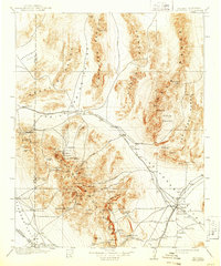
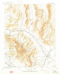
Editions of this 1908 Las Vegas Map
4 editions found
Other maps of this area

1885 · Pioche
USGS Topo · 1:250,000

1886 · Camp Mohave
USGS Topo · 1:250,000

1886 · Saint Thomas
USGS Topo · 1:250,000

1886 · Pioche
USGS Topo · 1:250,000

1892 · Camp Mohave
USGS Topo · 1:250,000

1893 · Saint Thomas
USGS Topo · 1:250,000

1907 · Las Vegas
USGS Topo · 1:250,000

1908 · Kawich
USGS Topo · 1:250,000

1908 · Furnace Creek
USGS Topo · 1:250,000

1908 · Las Vegas
USGS Topo · 1:250,000