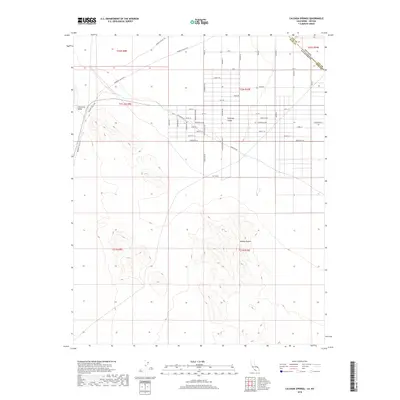
2018 Map of Calvada Springs
USGS Topo · Published 2018About this map
California Valley and the western edge of Pahrump Valley converge in this high-desert landscape along the border of Nevada and California. The terrain transition is defined by the expanse of the Mojave Desert, where a grid of rural roads and residential lots marks modern encroachment into the arid basin. Primary access is maintained via Mesquite Valley Rd, which skirts the base of the surrounding mountains before entering the valley floor.
Find a feature on this map
46 named features on this map. Tap any name to fly to it.
Don’t see what you’re looking for? This feature index may not catch every label — zoom into the map to look around manually.
Map Details
Editions of this 2018 Calvada Springs Map
This is the sole edition of this map. No revisions or reprints were ever made.
Other maps of this area

1907 · Las Vegas
USGS Topo · 1:250,000

1908 · Furnace Creek
USGS Topo · 1:250,000

1908 · Las Vegas
USGS Topo · 1:250,000

1910 · Furnace Creek
USGS Topo · 1:250,000

1910 · Ivanpah
USGS Topo · 1:250,000

1912 · Ivanpah
USGS Topo · 1:250,000

1933 · Avawatz Mountains
USGS Topo · 1:250,000

1942 · Ivanpah
USGS Topo · 1:250,000

1947 · Trona
USGS Topo · 1:250,000

1947 · Kingman
USGS Topo · 1:250,000