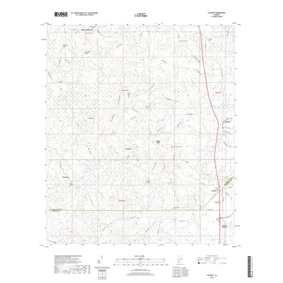
2018 Map of Calvert
USGS Topo · Published 2018About this map
Fairford and Chestang anchor the central portion of this southwestern Alabama landscape, situated just west of the Mobile River bottomlands. The map reveals a high density of small family and community burial grounds, essential for genealogical research, including Mount Moriah Cem, Saint Thomas Cems, and Little Chestang Cem. The terrain is defined by a network of drainage systems such as Little Poll Bayou and Poll Bayou, which flow through the forested lowlands toward the river. To the north, Reid Settlement and Hub Neck suggest the enduring nature of local communities in the northern reaches of Mobile County. The boundary with Washington County cuts across the northern and eastern edges, where larger settlements like Calvert and Malcolm are positioned near the county line and the marshy edges of Bilbo Cr.
Find a feature on this map
82 named features on this map. Tap any name to fly to it.
Don’t see what you’re looking for? This feature index may not catch every label — zoom into the map to look around manually.
Map Details
Editions of this 2018 Calvert Map
This is the sole edition of this map. No revisions or reprints were ever made.
Other maps of this area

1943 · Choctaw Bluff
USGS Topo · 1:62,500

1943 · Tensaw
USGS Topo · 1:62,500

1943 · Citronelle
USGS Topo · 1:62,500

1943 · McIntosh
USGS Topo · 1:62,500

1944 · McIntosh
USGS Topo · 1:62,500

1944 · Tensaw
USGS Topo · 1:62,500

1946 · Citronelle
USGS Topo · 1:62,500

1946 · Choctaw Bluff
USGS Topo · 1:62,500

1953 · Andalusia
USGS Topo · 1:250,000

1953 · Hattiesburg
USGS Topo · 1:250,000