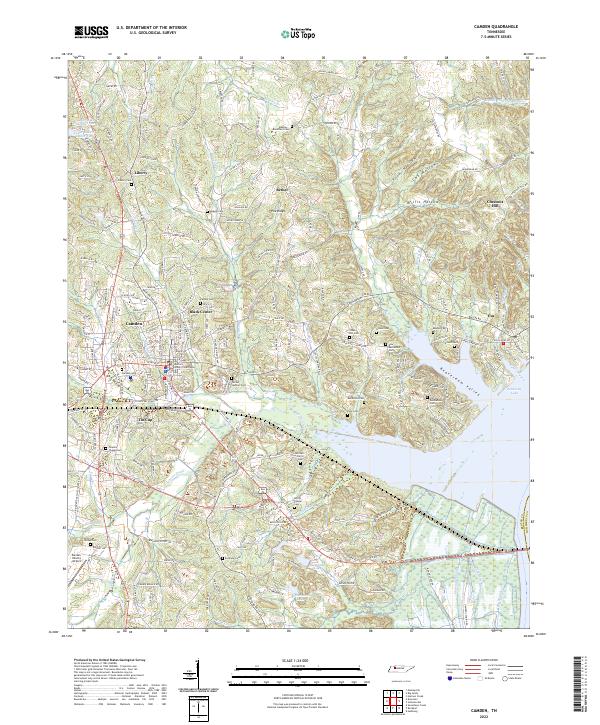
2022 Map of Camden
USGS Topo · Published 2022About this map
The Benton County Courthouse stands as the central landmark of Camden, Tennessee, anchoring a landscape where the West Tennessee hills meet the western shore of Kentucky Lake. This modern survey documents the intricate network of family and community history preserved in the region's many burial grounds, ranging from the large Camden Cem to smaller rural sites like Old Bethlehem Cem and Mitchell - Farrar Cem. To the east, the terrain descends into the Beaverdam Valley, while to the west, the Benton County Airport and the settlement of Tin Cup mark the contemporary periphery of the county seat.
Find a feature on this map
206 named features on this map. Tap any name to fly to it.
Don’t see what you’re looking for? This feature index may not catch every label — zoom into the map to look around manually.
Map Details
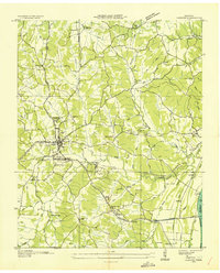
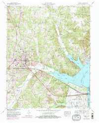
Editions of this 2022 Camden Map
This is the sole edition of this map. No revisions or reprints were ever made.