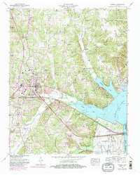
1950 Map of Camden
USGS Topo · Published 1985About this map
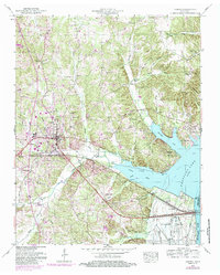
Camden serves as the focal point of this survey, situated just west of the expansive waters of Kentucky Lake and the Tennessee River. The landscape is defined by the transition from the town center, featuring an Airport and Athletic field, to the intricate network of inlets and ridges to the east. The creation of the reservoir is evidenced by the prominent Dewatering Area and the Kentucky Res Bdy, which segments the low-lying eastern terrain.
Find a feature on this map
65 named features on this map. Tap any name to fly to it.
Don’t see what you’re looking for? This feature index may not catch every label — zoom into the map to look around manually.
Map Details
Editions of this 1950 Camden Map
6 editions found
Other maps of this area

1936 · Camden
USGS Topo · 1:24,000

1936 · Seventeen Creek
USGS Topo · 1:24,000

1936 · Big Sandy
USGS Topo · 1:24,000

1936 · Johnsonville
USGS Topo · 1:24,000

1936 · Bruceton
USGS Topo · 1:24,000

1936 · Harmon Creek
USGS Topo · 1:24,000

1936 · Rockport
USGS Topo · 1:24,000

1936 · Manleyville
USGS Topo · 1:24,000

1936 · Hustburg
USGS Topo · 1:24,000

1940 · Manleyville
USGS Topo · 1:24,000