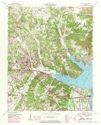
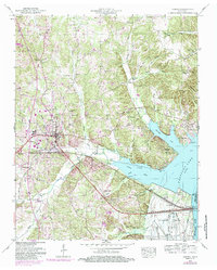
1950 Map of Camden
USGS Topo · Published 1971About this map
Camden serves as the focal point for this mid-century look at Benton County, situated where the Nashville Chattanooga & St Louis Ry cuts across the landscape toward the Tennessee River. The 1950 survey, updated with 1969 revisions, captures a period of transition as the waters of Kentucky Lake define the eastern boundary, flooding the lowlands of Cypress Creek and Beaverdam Creek. In the hills to the north and west, the map records a high density of rural social centers like Ebenezer School, Toll Chapel School, and Beaverdam Church, reflecting the area's agricultural roots before increasing modernization.
Find a feature on this map
60 named features on this map. Tap any name to fly to it.
Don’t see what you’re looking for? This feature index may not catch every label — zoom into the map to look around manually.
Map Details
Editions of this 1950 Camden Map
6 editions found
Other maps of this area

1936 · Camden
USGS Topo · 1:24,000

1936 · Seventeen Creek
USGS Topo · 1:24,000

1936 · Big Sandy
USGS Topo · 1:24,000

1936 · Johnsonville
USGS Topo · 1:24,000

1936 · Bruceton
USGS Topo · 1:24,000

1936 · Harmon Creek
USGS Topo · 1:24,000

1936 · Rockport
USGS Topo · 1:24,000

1936 · Manleyville
USGS Topo · 1:24,000

1936 · Hustburg
USGS Topo · 1:24,000

1940 · Manleyville
USGS Topo · 1:24,000