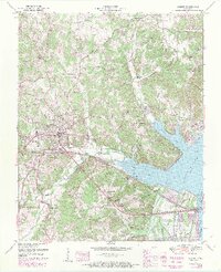
1950 Map of Camden
USGS Topo · Published 1971About this map
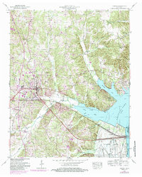
Camden serves as the focal point for this mid-century survey, situated at the junction of the Louisville and Nashville and Nashville Chattanooga and St Louis railroads. The landscape is defined by the massive reach of Kentucky Lake and the Tennessee River, which necessitated the creation of the extensive Dewatering Area to the south. The rural character of Benton County is evident in the network of country schools and churches, including Toll Chapel School and Missionary Grove Church, alongside family-named landmarks such as Lashlee Cem and Robertson Cem. Near the water, the Eva Cabin Area indicates the region's developing recreational identity following the creation of the reservoir. The map captures the industrial and agricultural infrastructure of the era, from a filtration plant and substation to a local gravel pit.
Find a feature on this map
70 named features on this map. Tap any name to fly to it.
Don’t see what you’re looking for? This feature index may not catch every label — zoom into the map to look around manually.
Map Details
Editions of this 1950 Camden Map
6 editions found
Other maps of this area

1936 · Camden
USGS Topo · 1:24,000

1936 · Seventeen Creek
USGS Topo · 1:24,000

1936 · Big Sandy
USGS Topo · 1:24,000

1936 · Johnsonville
USGS Topo · 1:24,000

1936 · Bruceton
USGS Topo · 1:24,000

1936 · Harmon Creek
USGS Topo · 1:24,000

1936 · Rockport
USGS Topo · 1:24,000

1936 · Manleyville
USGS Topo · 1:24,000

1936 · Hustburg
USGS Topo · 1:24,000

1940 · Manleyville
USGS Topo · 1:24,000