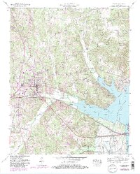
1950 Map of Camden
USGS Topo · Published 1985About this map
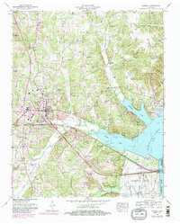
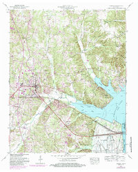
Camden serves as the focal point of this mid-century West Tennessee landscape, situated west of the expansive Kentucky Lake and Tennessee River. The town's layout is defined by the intersection of the Seaboard System Railroad and the historic Broadway of America, with local life centered around institutions like the Toll Chapel School and Camden's urban core. To the east, the landscape transitions into the river bottomlands, where the Dewatering Area and various sloughs like Big Slough and Threemile Slough reflect the hydrological management of the Tennessee Valley Authority.
Find a feature on this map
74 named features on this map. Tap any name to fly to it.
Don’t see what you’re looking for? This feature index may not catch every label — zoom into the map to look around manually.
Map Details
Editions of this 1950 Camden Map
6 editions found
Other maps of this area

1936 · Camden
USGS Topo · 1:24,000

1936 · Seventeen Creek
USGS Topo · 1:24,000

1936 · Big Sandy
USGS Topo · 1:24,000

1936 · Johnsonville
USGS Topo · 1:24,000

1936 · Bruceton
USGS Topo · 1:24,000

1936 · Harmon Creek
USGS Topo · 1:24,000

1936 · Rockport
USGS Topo · 1:24,000

1936 · Manleyville
USGS Topo · 1:24,000

1936 · Hustburg
USGS Topo · 1:24,000

1940 · Manleyville
USGS Topo · 1:24,000