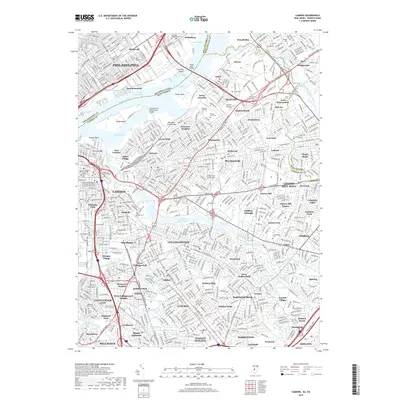
2019 Map of Camden
USGS Topo · Published 2019About this map
Philadelphia and the bustling riverside districts of Port Richmond and Bridesburg dominate the western bank of the Delaware River in this detailed urban survey. Across the water, the New Jersey industrial and residential landscape of Camden and Pennsauken unfolds, connected by the massive Betsy Ross Bridge and the Franklin Bridge. The map highlights a dense network of neighborhoods including Delair, Haddonfield, and Cherry Hill, revealing how transportation corridors like the New Jersey Tpke and Admiral Wilson Blvd shaped the growth of these suburbs.
Find a feature on this map
122 named features on this map. Tap any name to fly to it.
Don’t see what you’re looking for? This feature index may not catch every label — zoom into the map to look around manually.
Map Details
Editions of this 2019 Camden Map
This is the sole edition of this map. No revisions or reprints were ever made.
Other maps of this area

1888 · Mount Holly
USGS Topo · 1:62,500

1890 · Burlington
USGS Topo · 1:62,500

1891 · Philadelphia
USGS Topo · 1:62,500

1893 · Germantown
USGS Topo · 1:62,500

1893 · Burlington
USGS Topo · 1:62,500

1894 · Mount Holly
USGS Topo · 1:62,500

1894 · Philadelphia
USGS Topo · 1:62,500

1894 · Germantown
USGS Topo · 1:62,500

1896 · Germantown
USGS Topo · 1:62,500

1896 · Philadelphia
USGS Topo · 1:62,500