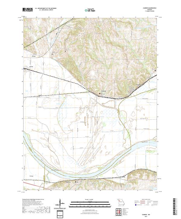
2021 Map of Camden
USGS Topo · Published 2021About this map
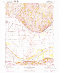
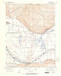
The Missouri River carves a massive sweeping curve through this riverfront landscape, creating prominent geographical features like Camden Bend and Napoleon Bend. The relationship between the high bluffs and the floodplain defines the settlement patterns here, with towns like Camden and Napoleon situated along the primary transport corridors. This area is a significant site for genealogical research, as evidenced by numerous small family and community burial grounds including Smith Jackson Cem, Barsher Cem, and Saint Paul Cem near the river's edge.
Find a feature on this map
95 named features on this map. Tap any name to fly to it.
Don’t see what you’re looking for? This feature index may not catch every label — zoom into the map to look around manually.
Map Details
Editions of this 2021 Camden Map
This is the sole edition of this map. No revisions or reprints were ever made.