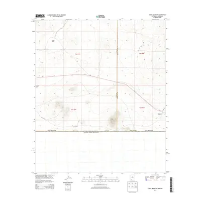
2013 Map of Camel Mountain
USGS Topo · Published 2013About this map
Camel Mtn serves as a prominent landmark in this desert reach of the Chihuahuan borderlands, situated just north of the international boundary between the United States and Mexico. The terrain is characterized by broad basins and volcanic features, including the low-lying Indian Basin to the northwest and the dark, basaltic flows of the Malpais to the east. Human infrastructure in this arid landscape is defined by the east-west corridor of Nm-9, which cuts across the center of the sheet, and a network of desert routes like CO Road B002. The map captures the meeting point of Luna and Doña Ana counties at the southern edge of the state, documenting a space where the vast open range of the Public Land Survey System meets the geopolitical line of the border.
Find a feature on this map
13 named features on this map. Tap any name to fly to it.
Don’t see what you’re looking for? This feature index may not catch every label — zoom into the map to look around manually.
Map Details
Editions of this 2013 Camel Mountain Map
This is the sole edition of this map. No revisions or reprints were ever made.
Other maps of this area

1917 · Camel Mountain
USGS Topo · 1:62,500

1917 · Mt. Riley
USGS Topo · 1:62,500

1918 · Mt. Riley
USGS Topo · 1:62,500

1929 · Mt. Riley
USGS Topo · 1:62,500

1951 · Mt. Riley
USGS Topo · 1:62,500

1953 · El Paso
USGS Topo · 1:250,000

1959 · El Paso
USGS Topo · 1:250,000

1964 · El Paso
USGS Topo · 1:250,000

1965 · El Paso
USGS Topo · 1:250,000
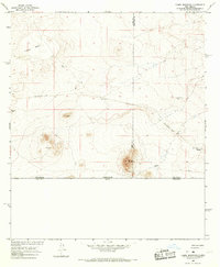
1965 · Camel Mountain
USGS Topo · 1:24,000