
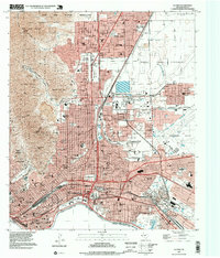
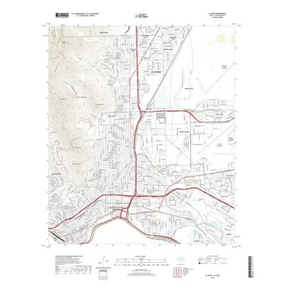
1965 Map of El Paso
USGS Topo · Published 1965About this map
El Paso serves as the focal point of this regional study, where the Rio Grande creates a narrow corridor of settlement and irrigation along the border. The agricultural network of the Franklin Canal and Riverside Canal supports communities like San Elizario and Socorro, while the massive Fort Bliss Military Reservation and Biggs Air Force Base dominate the highlands north of El Paso International. To the west, the arid Chihuahuan Desert landscape is marked by volcanic features like Kilbourne Hole and the West Potrillo Mountains. The infrastructure of the Southern Pacific railroad links remote outposts such as Columbus and Hermanas to the urban center. Family-named landmarks, including the Johnson Ranch and Hitt Ranch, are scattered across the expansive desert terrain, often centered on water sources like Hueco Wells or Martin Tank.
Find a feature on this map
83 named features on this map. Tap any name to fly to it.
Don’t see what you’re looking for? This feature index may not catch every label — zoom into the map to look around manually.
Map Details
Editions of this 1965 El Paso Map
This is the sole edition of this map. No revisions or reprints were ever made.
Historical Maps of Sunland Park Through Time
18 maps found
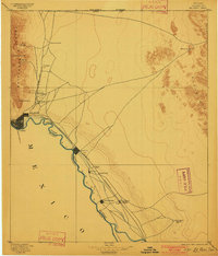
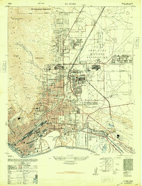
1896 El Paso
El Paso County, TX
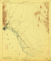
1908 El Paso
El Paso County, TX
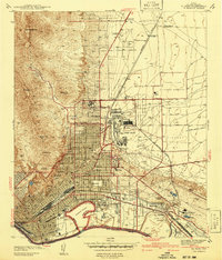
1941 El Paso
El Paso County, TX
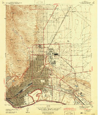
1943 El Paso
El Paso County, TX
1948 El Paso
El Paso County, TX

1953 El Paso
El Paso County, TX
1955 El Paso
El Paso County, TX
1959 El Paso
El Paso County, TX

1964 El Paso
El Paso County, TX
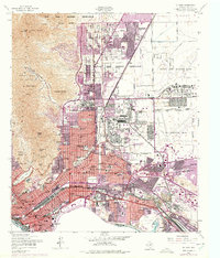
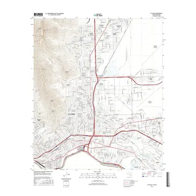
1965 El Paso
El Paso County, TX

1983 El Paso
El Paso County, TX
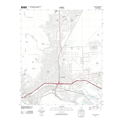
1994 El Paso
El Paso County, TX
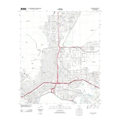
1997 El Paso
El Paso County, TX
2010 El Paso
El Paso County, TX
2012 El Paso
El Paso County, TX
2016 El Paso
El Paso County, TX
2019 El Paso
El Paso County, TX
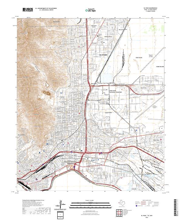
2022 El Paso
El Paso County, TX